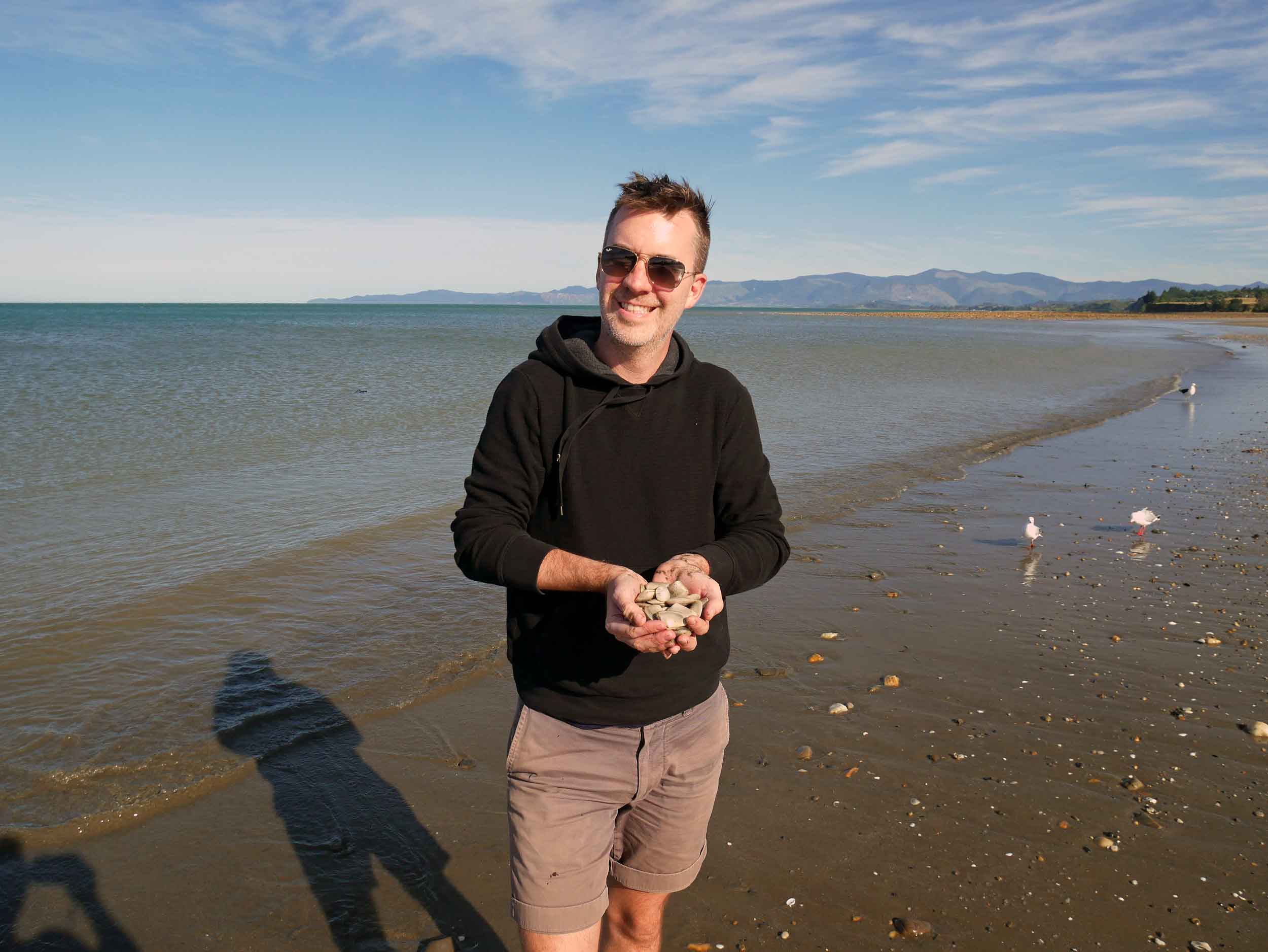
Kia Ora, New Zealand!
Before you read on, close your eyes and take a few seconds to recall the many landscapes you may have taken in during your travels, from soaring mountains to vast seas, steaming rainforests to barren deserts, roaring rivers to island oases, and on and on.
Now open your eyes.
New Zealand, we discovered, during our three-week jaunt around this small South Pacific country (which also kicked-off our year of travel), features all of these environmental scenes (and more!), often within a short drive of one another. We chose to spend most of this visit on New Zealand’s South Island, driving in a caravan from Christchurch across the Southern Alps via famed Arthur’s Pass (the highest in country) to the West Coast and down to the massive (although sadly, shrinking) glaciers and Fiordland’s majestic Milford Sound, looping around through Lake Tekapo and Hanmer Springs to end up in the island’s far north-west corner, striking Golden Bay, which is formed by the Farewell Spit.
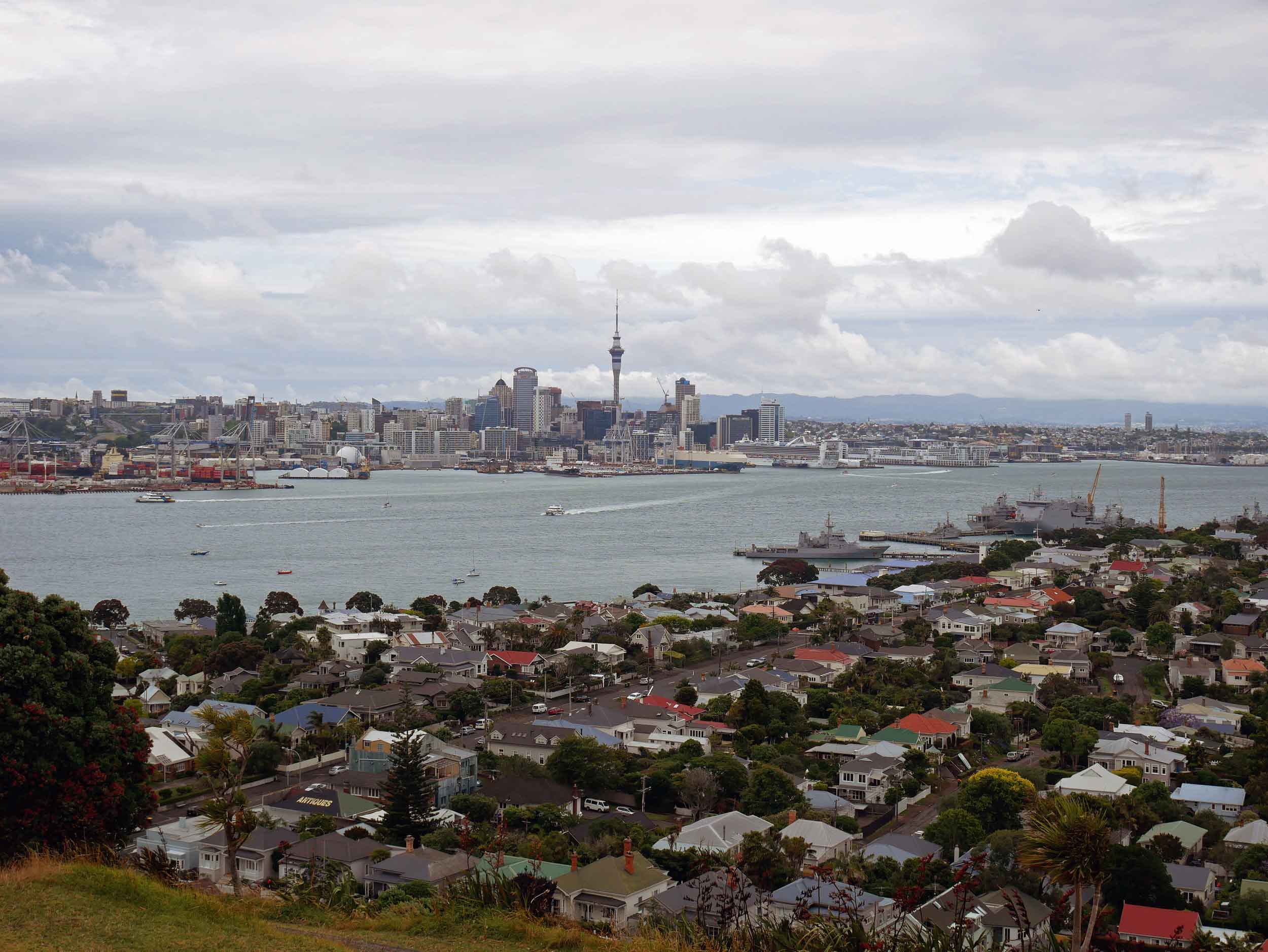
Taking in views of Auckland from the top of Mt. Victoria, an old volcano, located across Waitemata Harbour in Devonport (Jan 3).
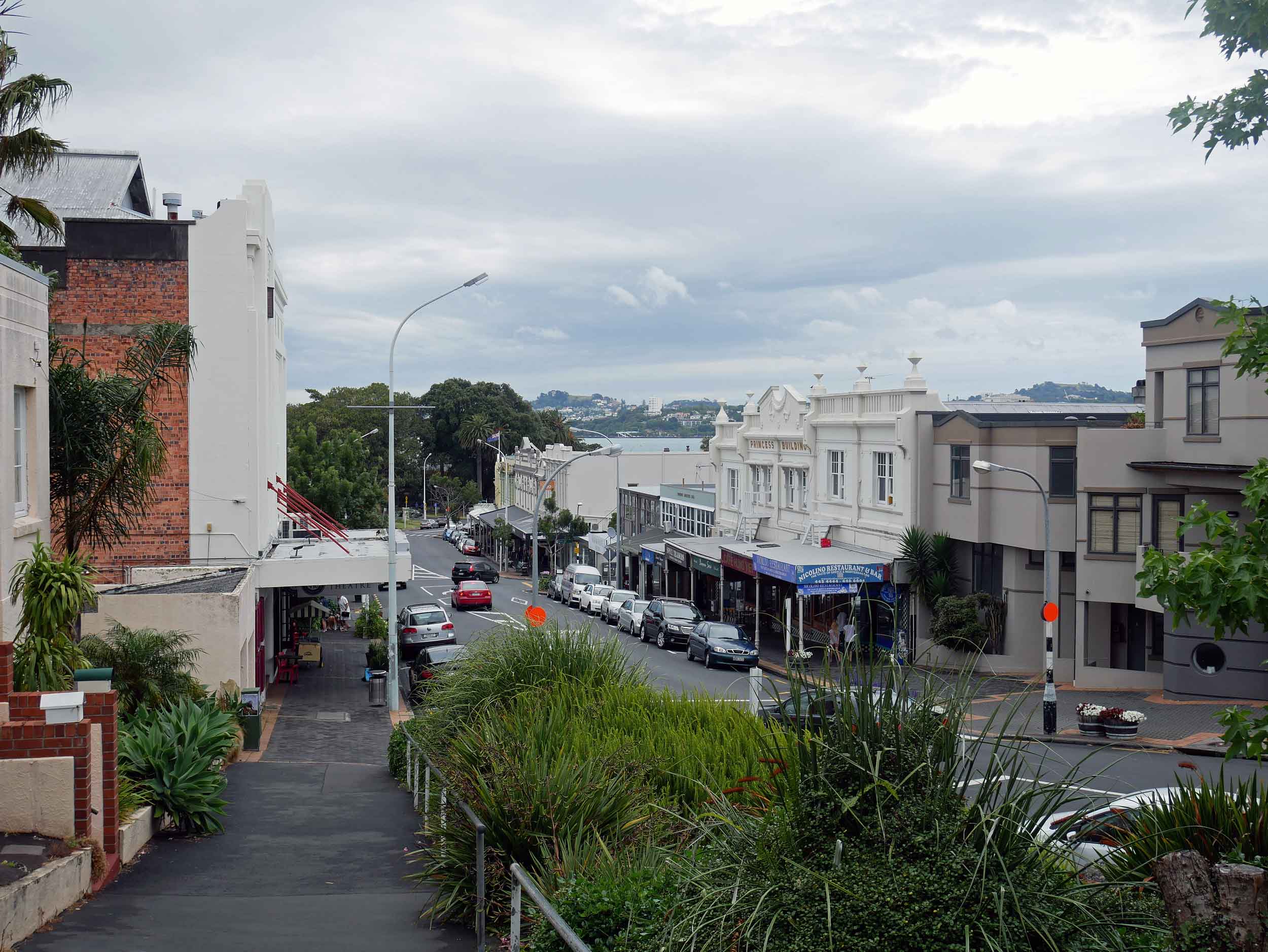
Charming Victoria Road in Devonport (home to musician Lorde), lined with cafes, bars and antiques shops (Jan 3).
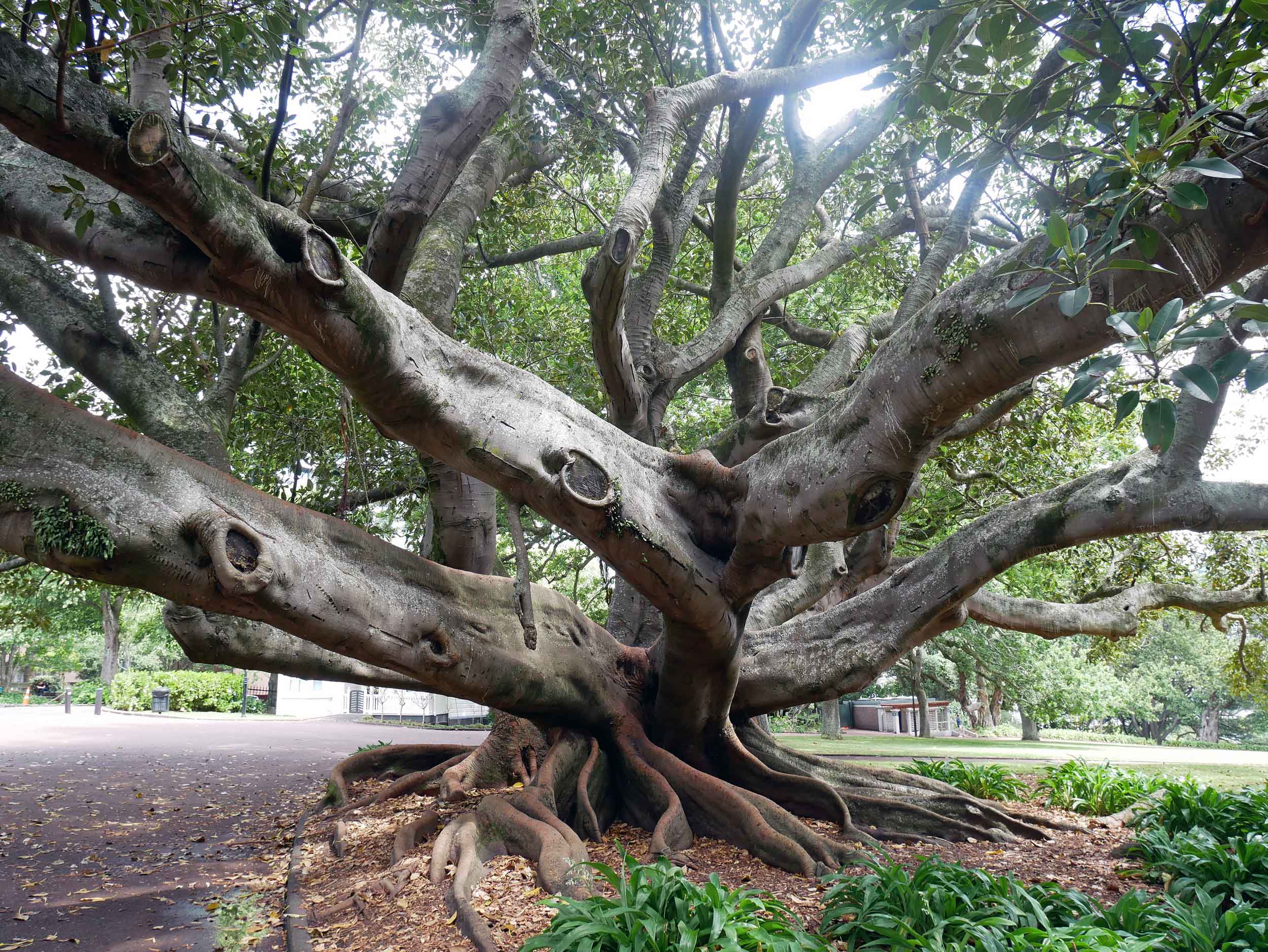
In Auckland, we walked 'Coast to Coast' across the city from the South Pacific to the Tasman Sea (about 16KM) and found this beauty in Albert Gardens (Jan 3).
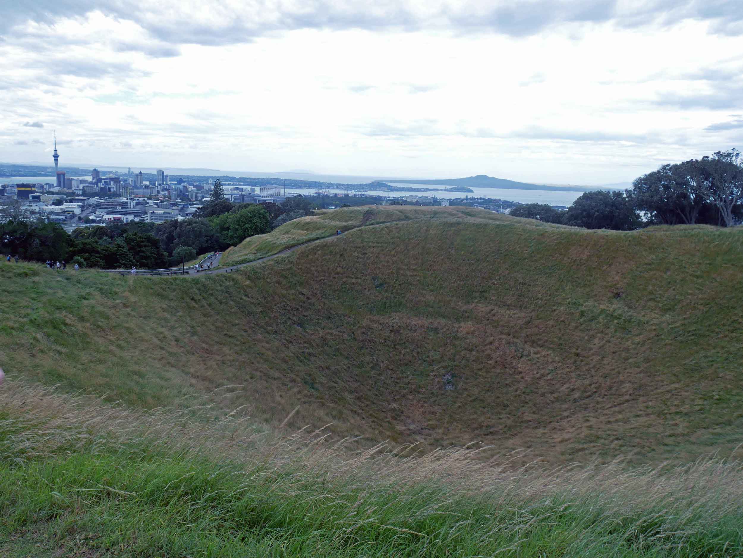
Along the walk, we climbed Mt. Eden, one of the most significant volcanic cones in Auckland (Jan 3).
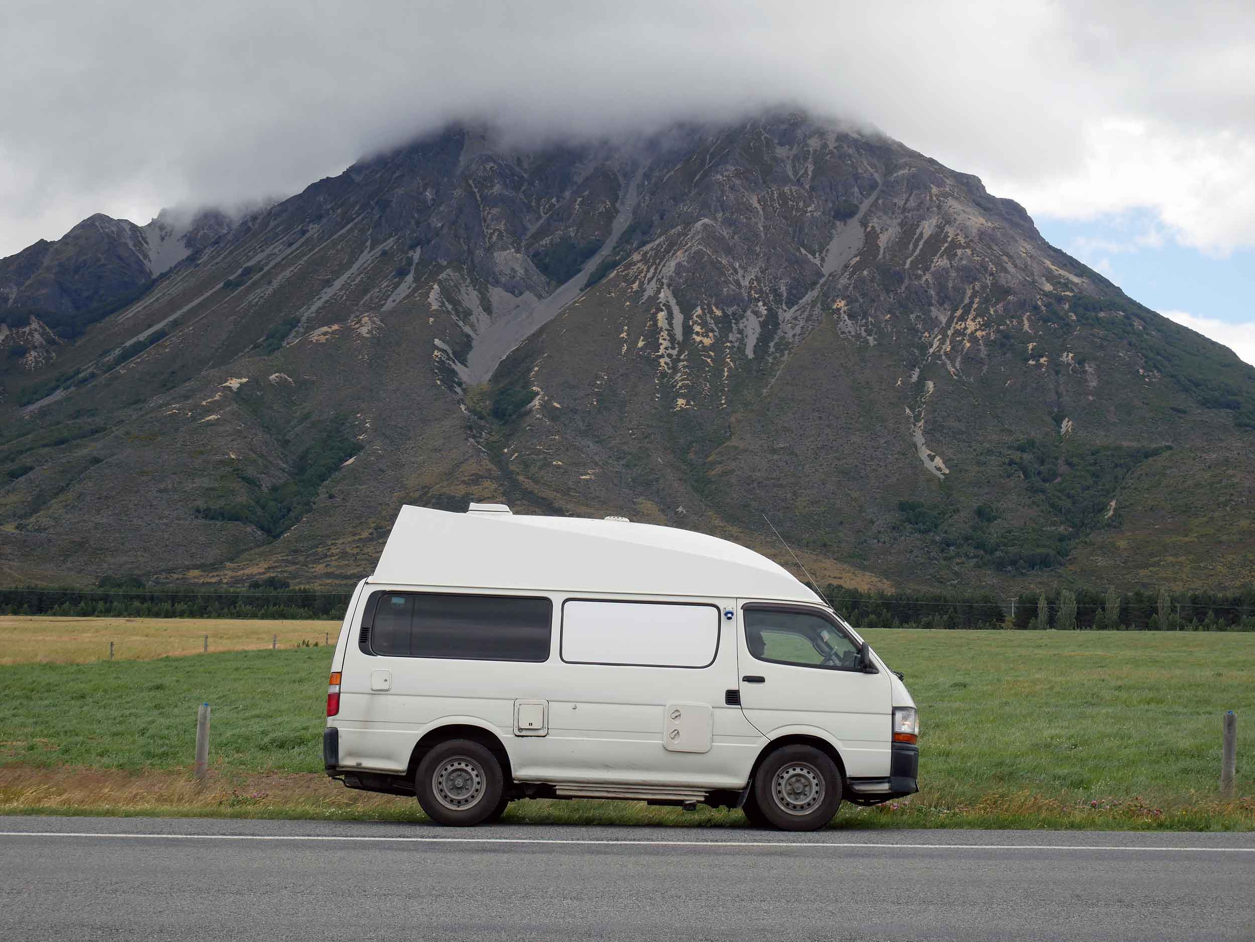
After landing in Christchurch on NZ's South Island, we jumped in our Lucky Ranger and headed straight for the West Coast via Arthur's Pass, the highest crossing of the Southern Alps (Jan 4).
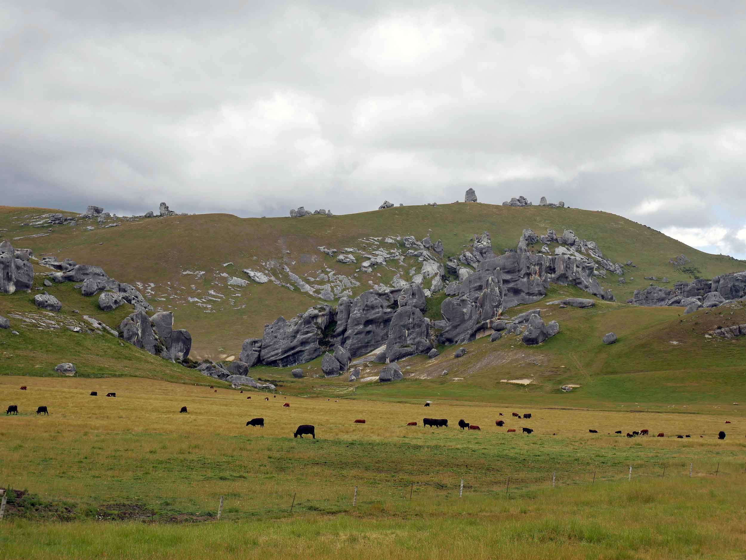
Crossing Arthur's Pass, we found Castle Hill, made up of giant limestone boulders that create the effect of a run down castle (Jan 4).
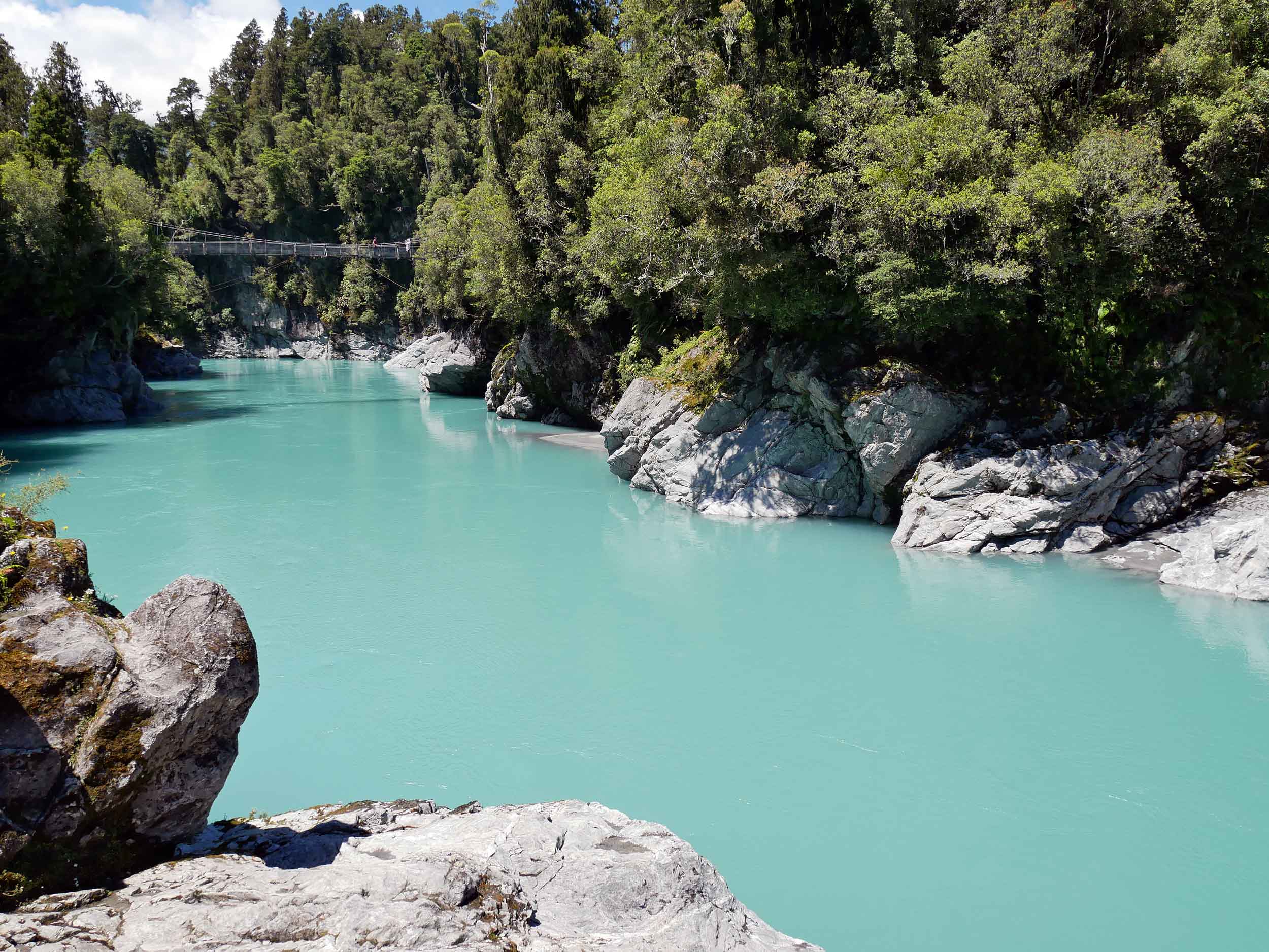
Once on the West Coast, we visited the town of Hokitika and the incredible Hokitika Gorge with unreal ice blue water (no filter here!) and a famous swing bridge (Jan 5).
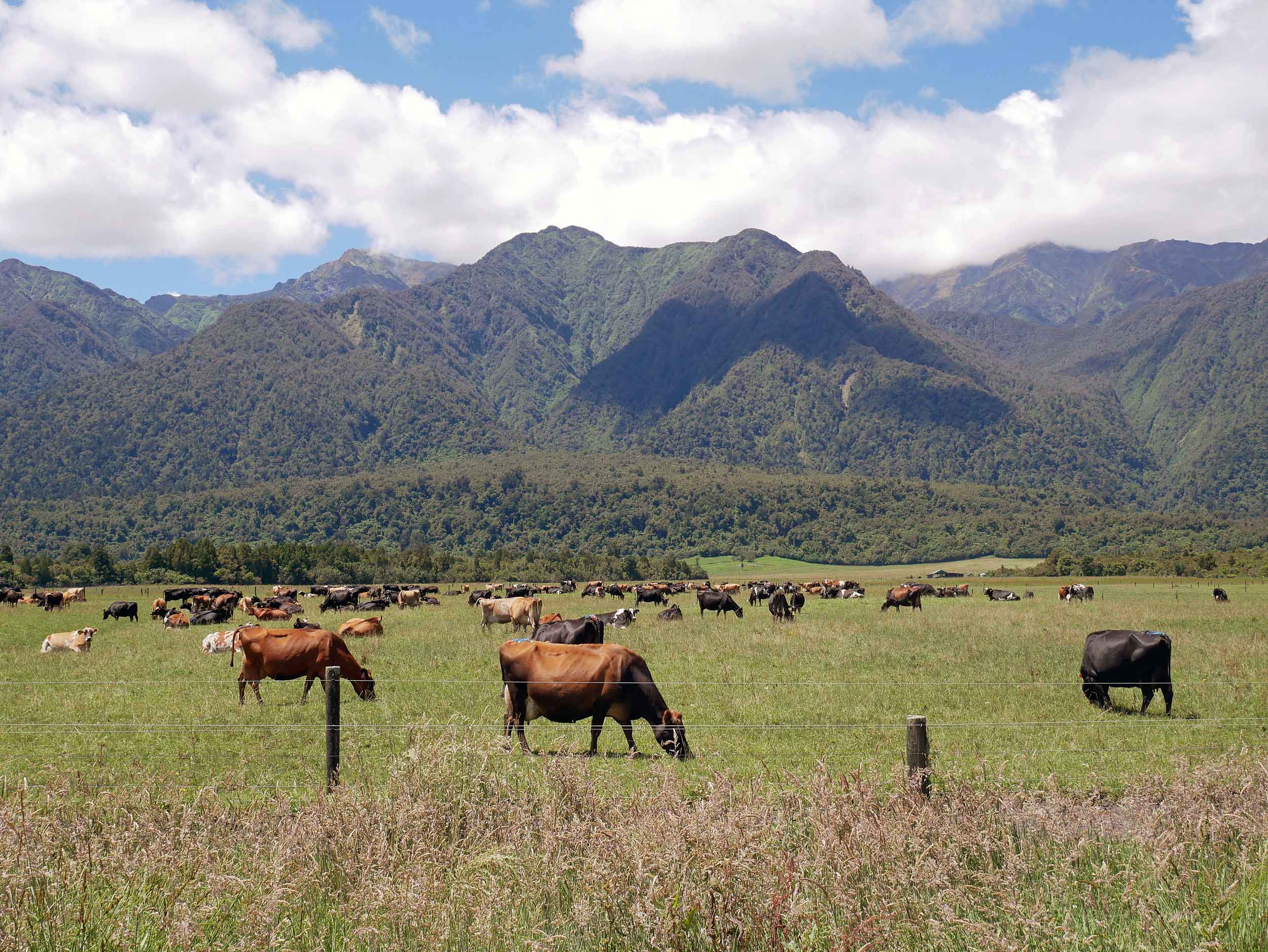
A usual sight while driving the South Island, lots of cattle! While not as many in number as sheep, NZ does have about 10 million cattle compared to a human population of just under 5 million (Jan 6).
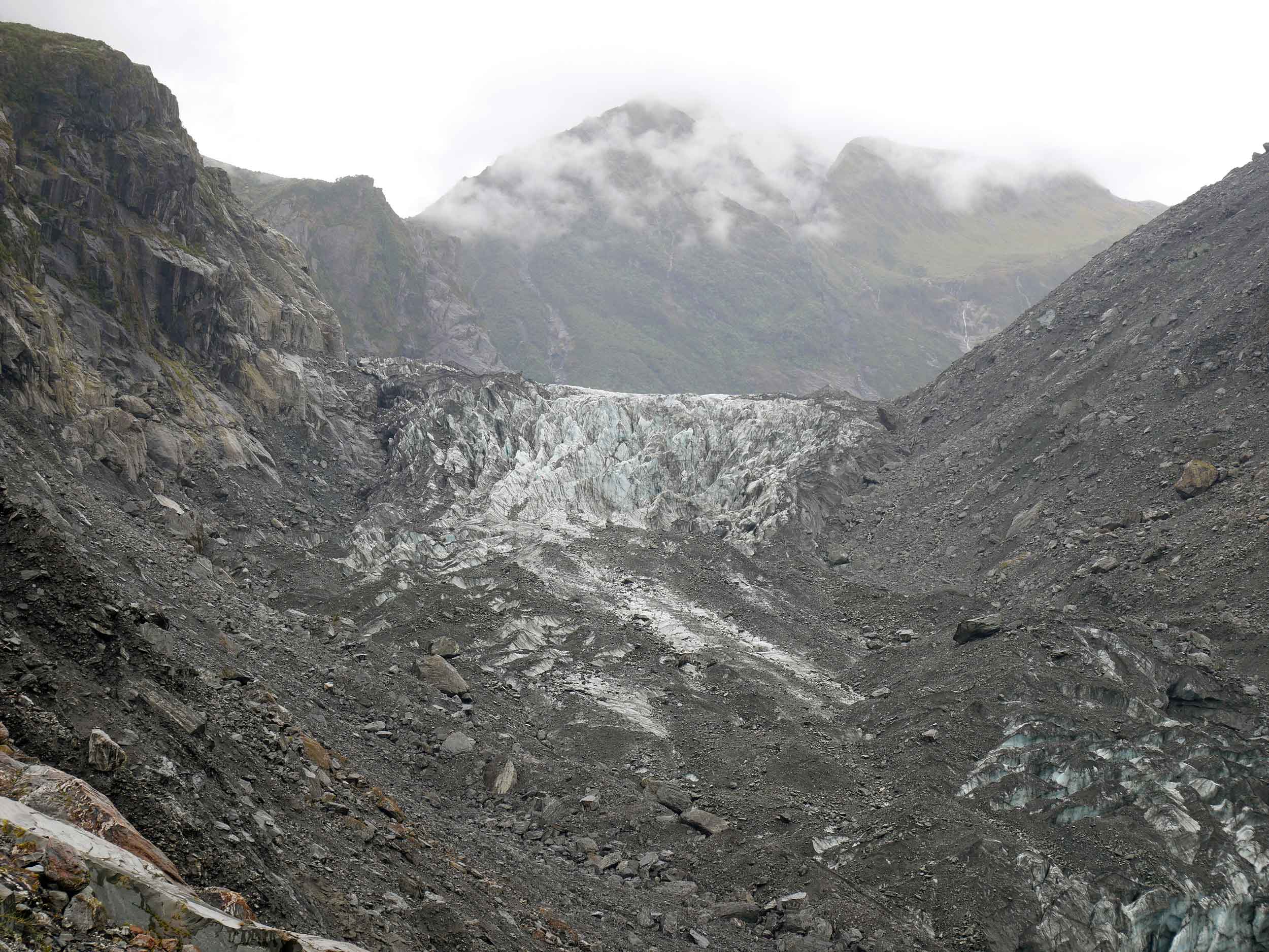
We trekked up to within 400 metres of Fox Glacier, one of the few in the world to end in rainforest (Jan 6).
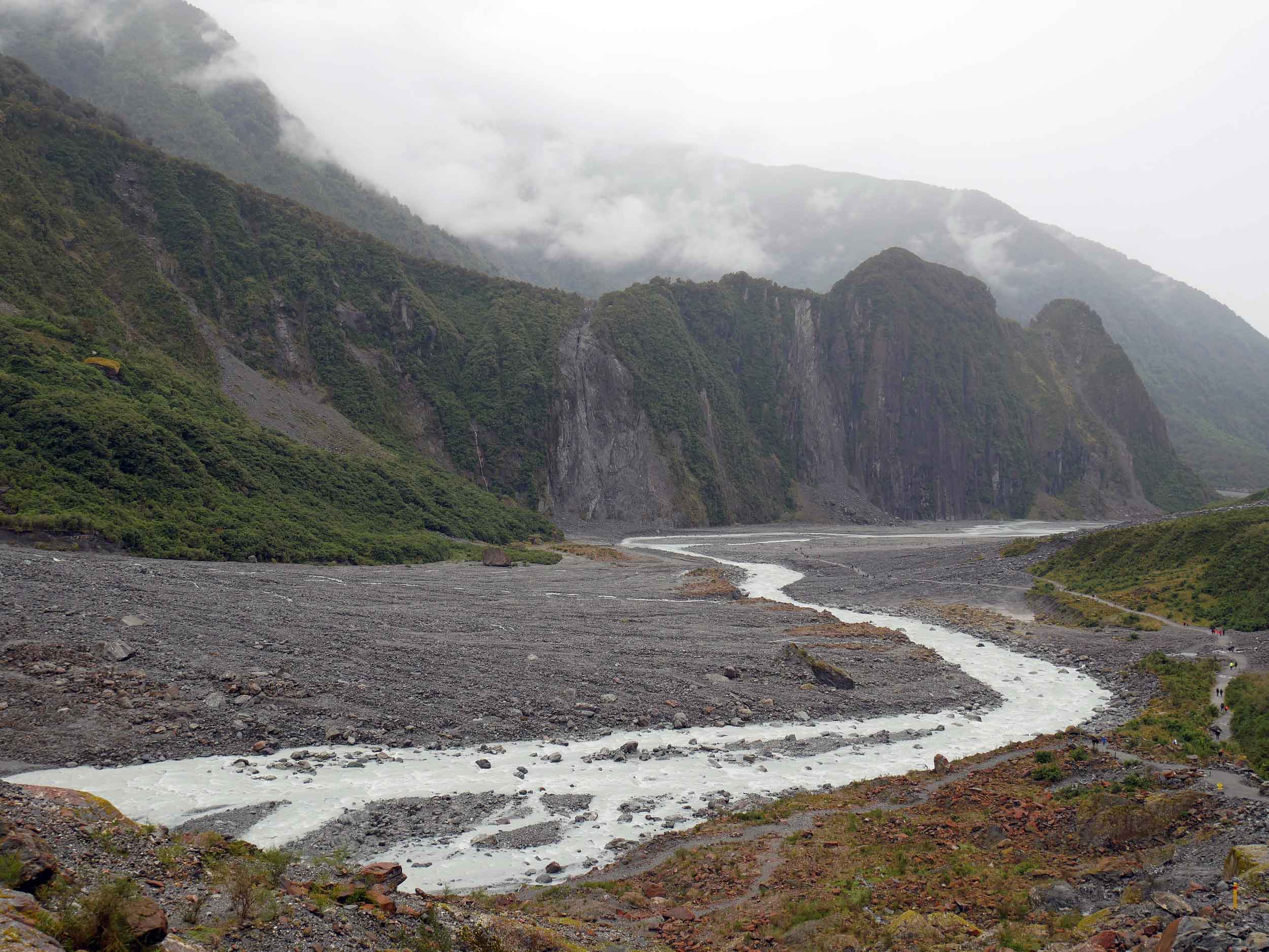
The outflow of Fox Glacier forms the Fox River that runs through the glacier valley to the coast (Jan 6).
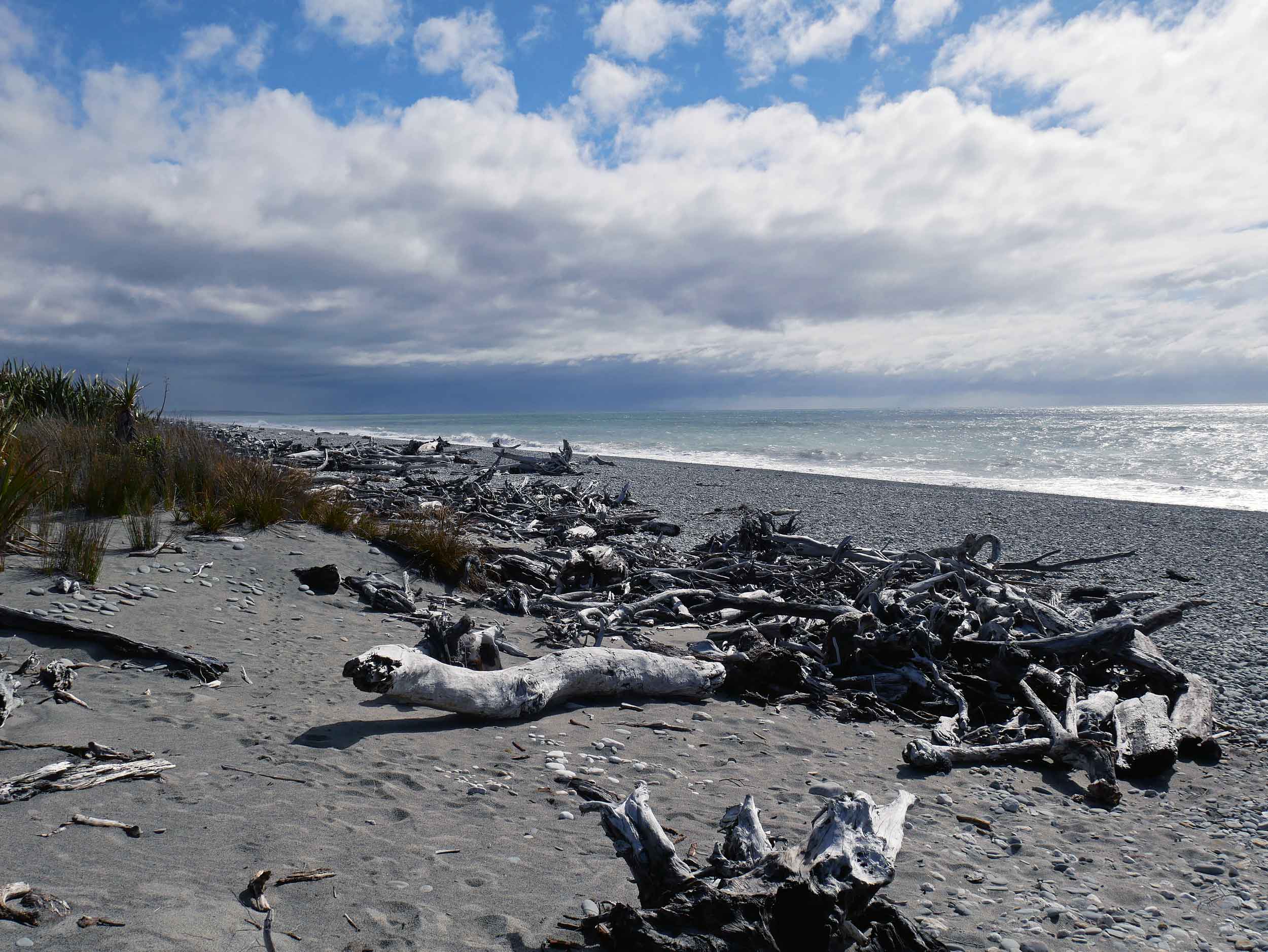
Still on the West Coast, just before Haast township, we found Ship Creek which offers both a dune and a bog walk (Jan 6).
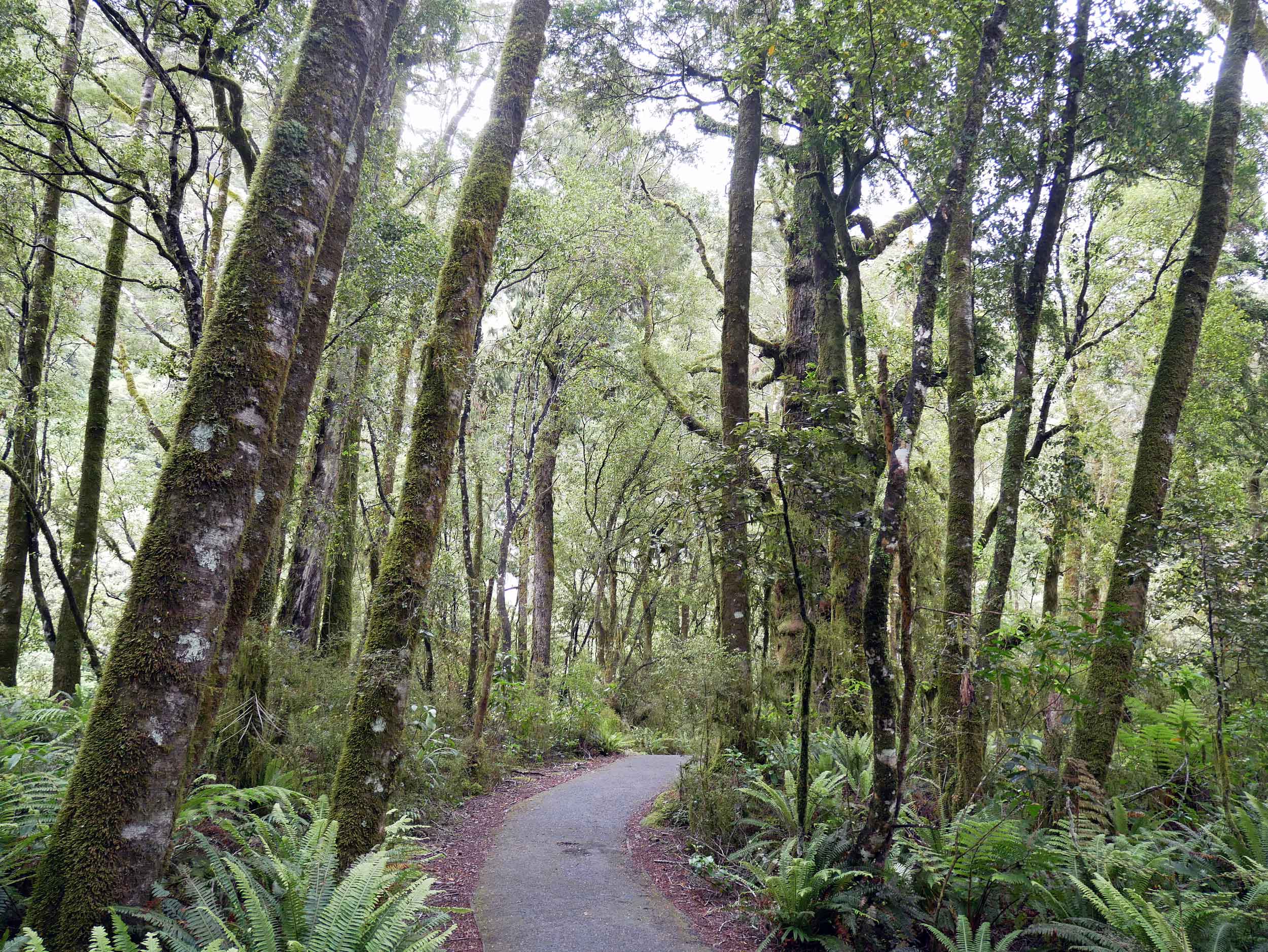
The Ship Creek bog walk took us through pre-historic vegetation and towering trees (Jan 6).
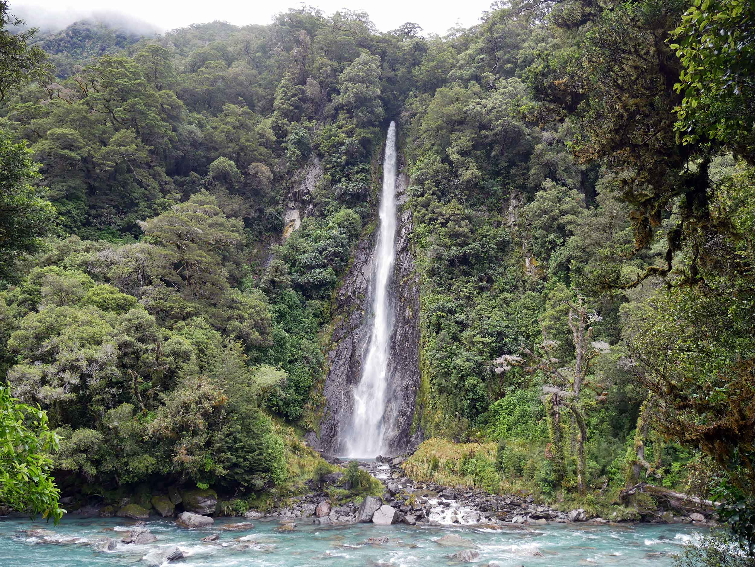
Driving from the West Coast to Queenstown along Haast Highway, we discovered one of New Zealand's tallest waterfalls (96 metres), Thunder Creek Falls (jan 7).
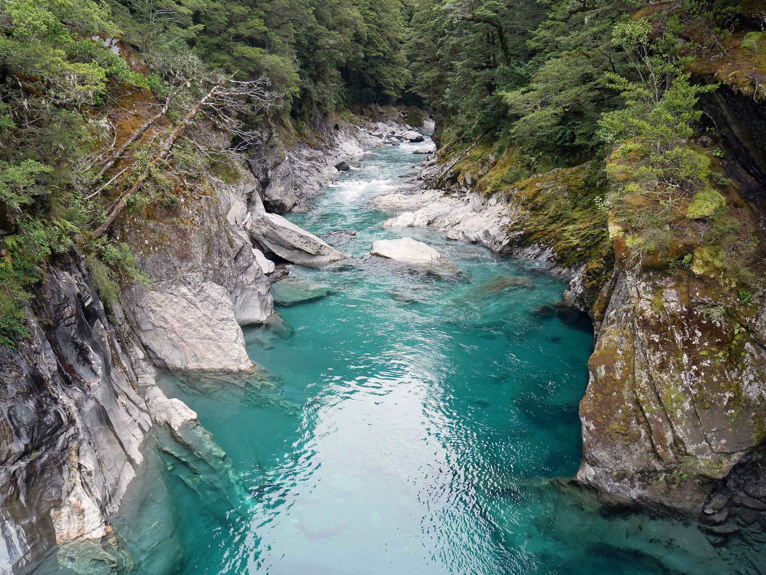
We also took a short walk across another swing bridge to take in the crystal Blue Pools of the Makaroa River (Jan 7).
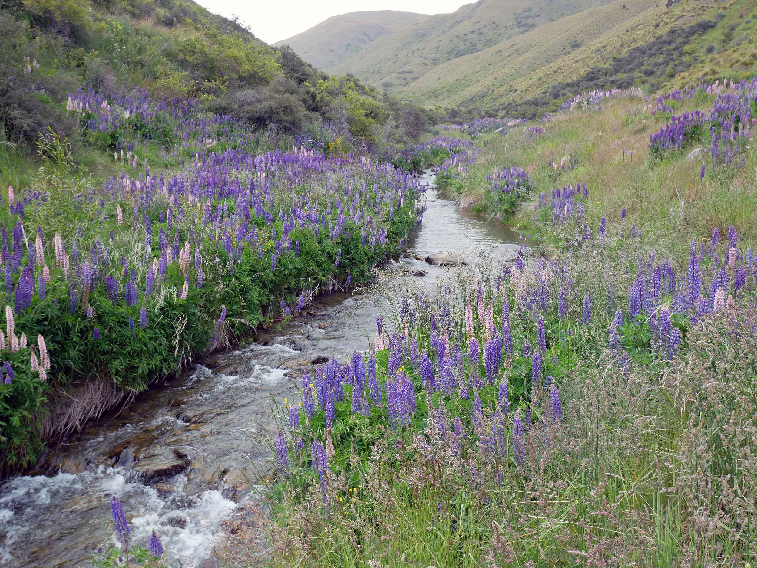
On our way to Milford Sound, we saw fields and fields of vibrant pinks, purples and blues of wild lupines (Jan 8).


Our journey took us through breathtaking scenery and up close to natural wonders, featuring vibrant, fantastical colors and real feats of nature. And as we moved around, the sights we took in were both familiar (“Oh, this reminds me of the windswept beaches of Portugal!” Or, “This is just like driving through the desert foothills of Arizona!”) and alien at the same time, often pumped up and larger than life, wilder and rawer than our previous experiences. Bucolic vistas awaited us at many turns along our drive, featuring dramatic (and often stunningly situated), vast paddocks (fields) of grazing sheep and cows. It’s no wonder the livestock outnumber people by a wide margin! We were especially appreciative of New Zealand’s deep respect for the native Maori culture and the widespread conservation of land was both impressive and inspiring.
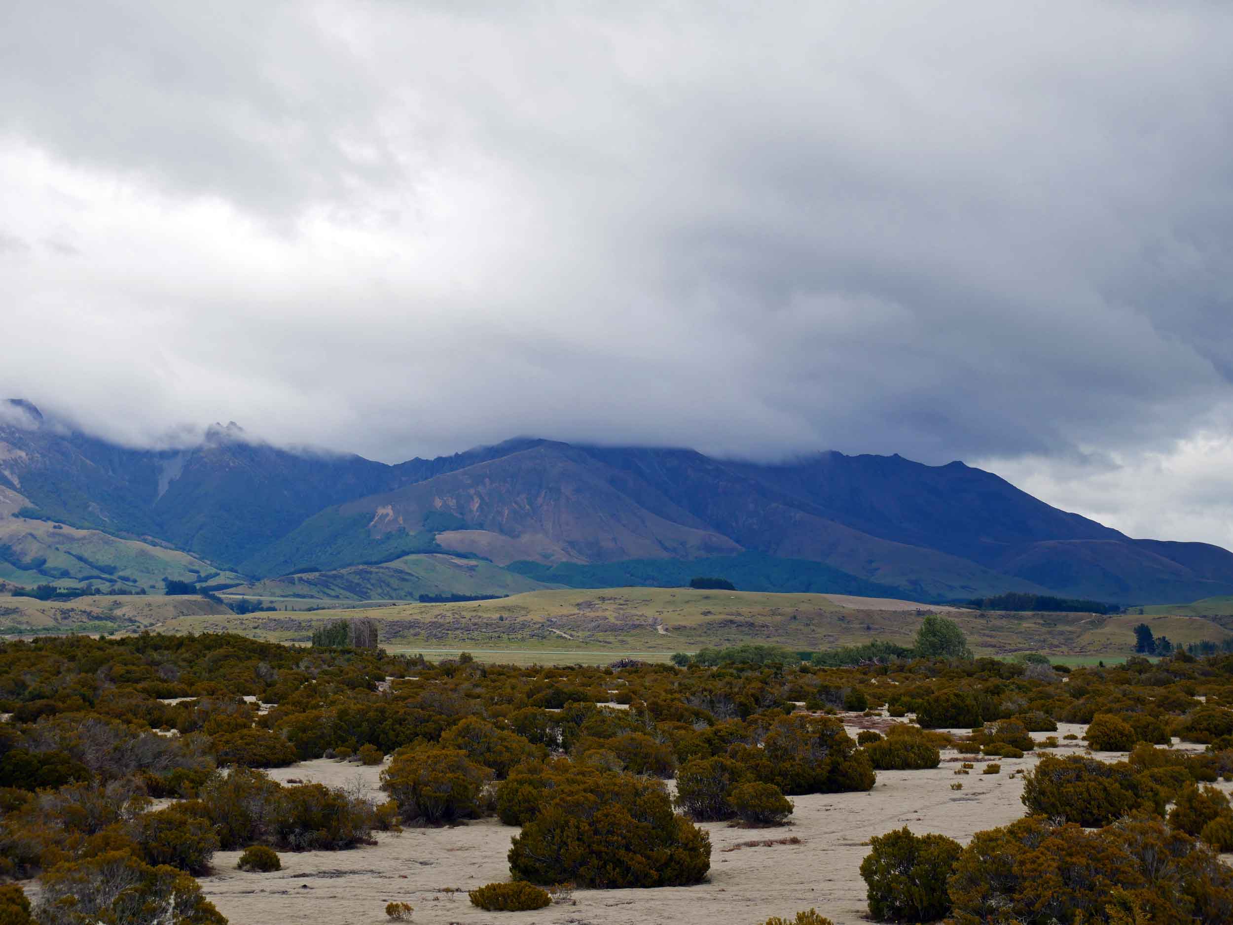
The scrubland of the Wilderness Scientific Reserve, just east of Te Anau on the way to Milford Sound, features landscape reminiscent of the last Ice Age (Jan 8).
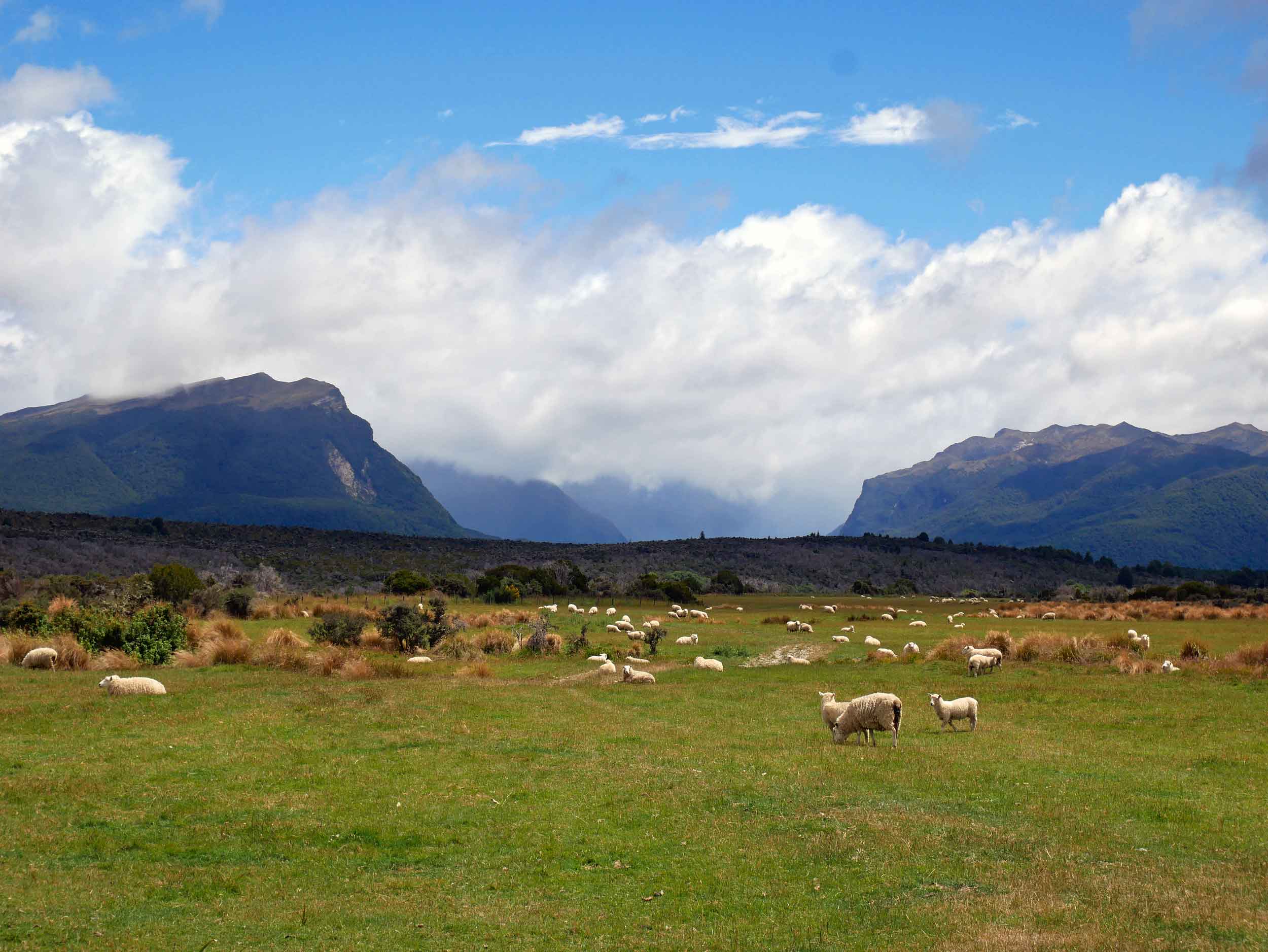
Another typical NZ scene, some of the country's nearly 30 million sheep (Jan 8).
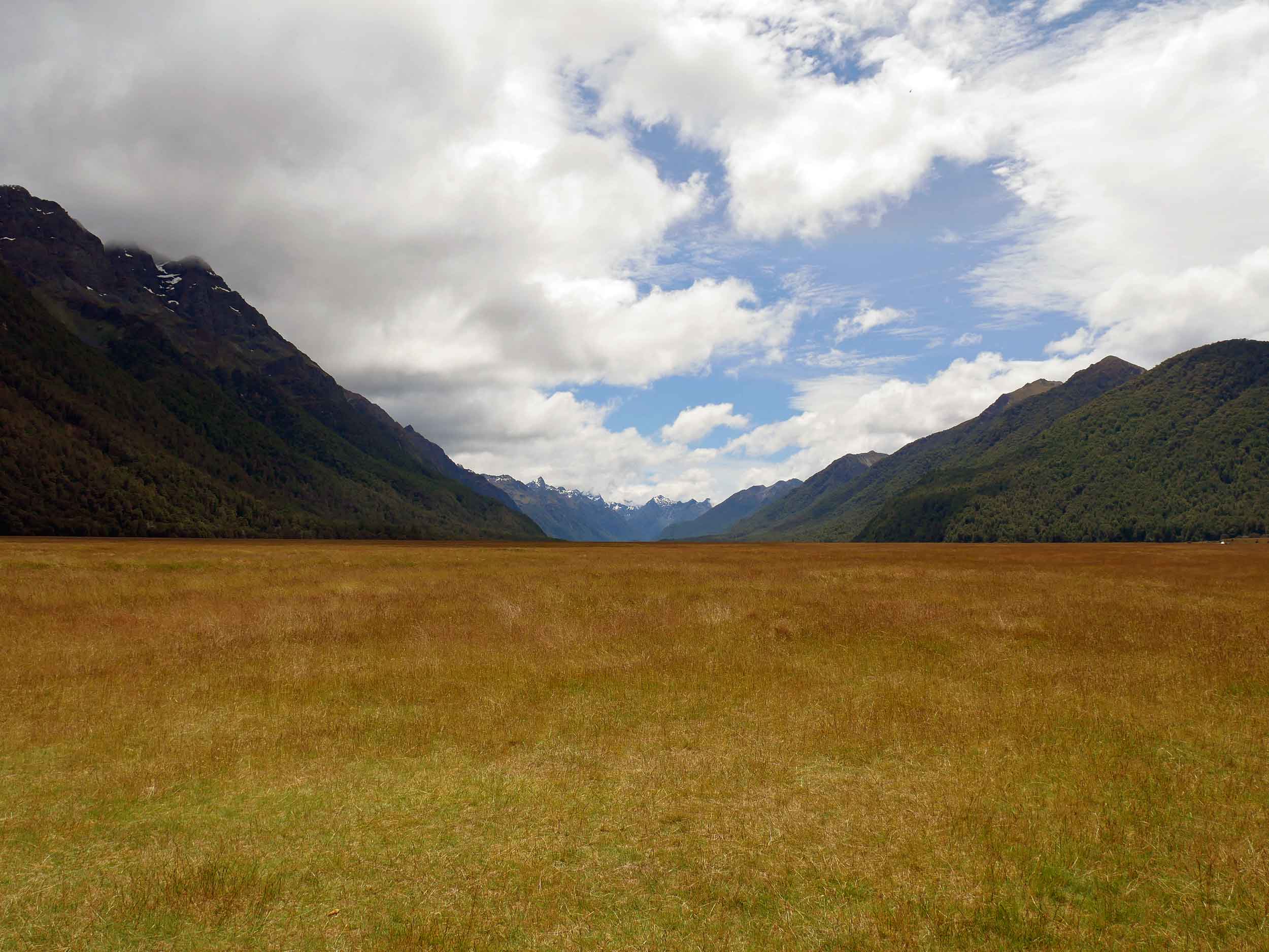
Along the Milford Road, we stopped and camped overnight in Eglinton Valley, once filled with glacial ice (Jan 8).
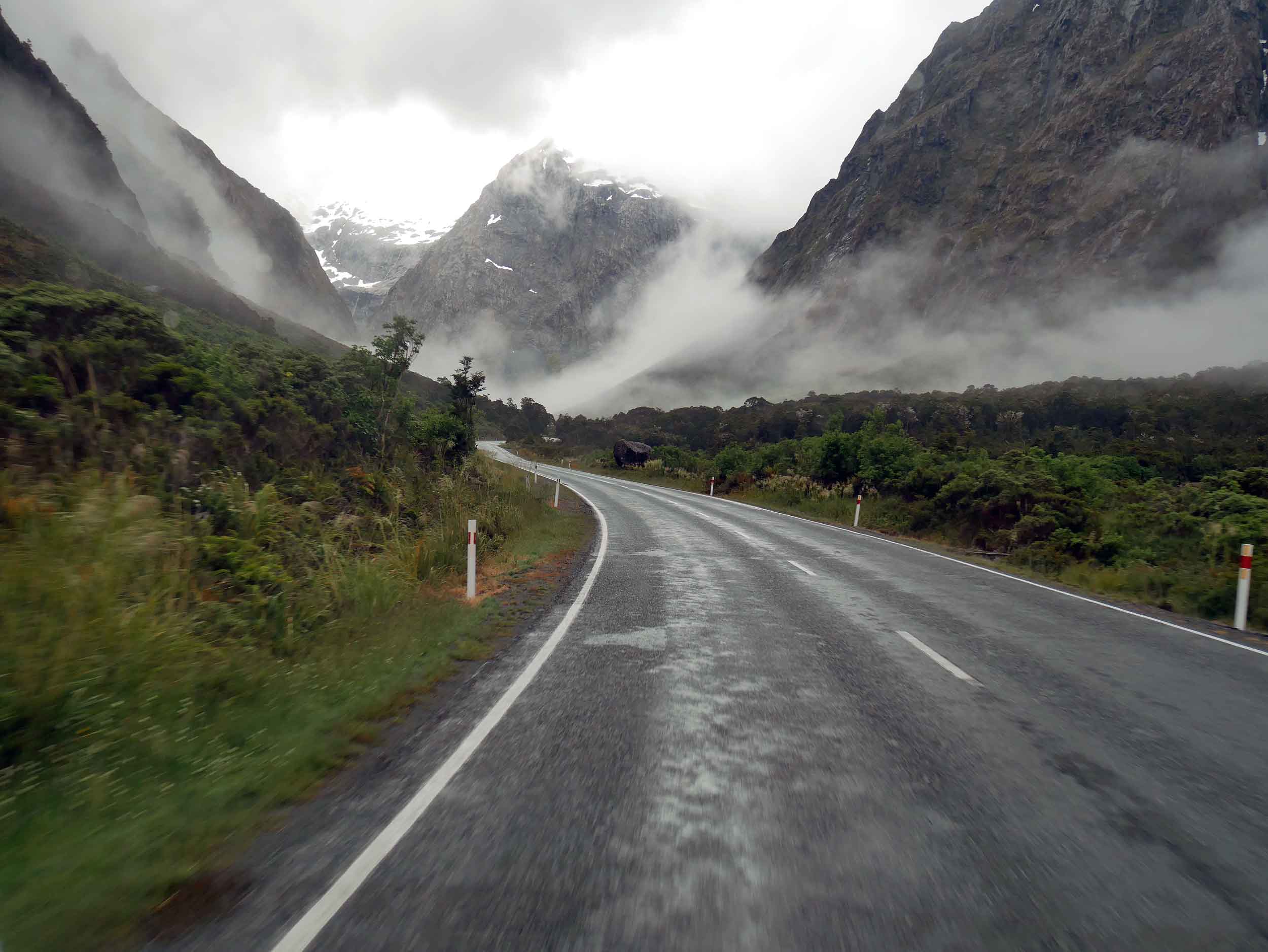
The moody Milford Road was wet and misty on our final stretch into Milford Sound (Jan 9).
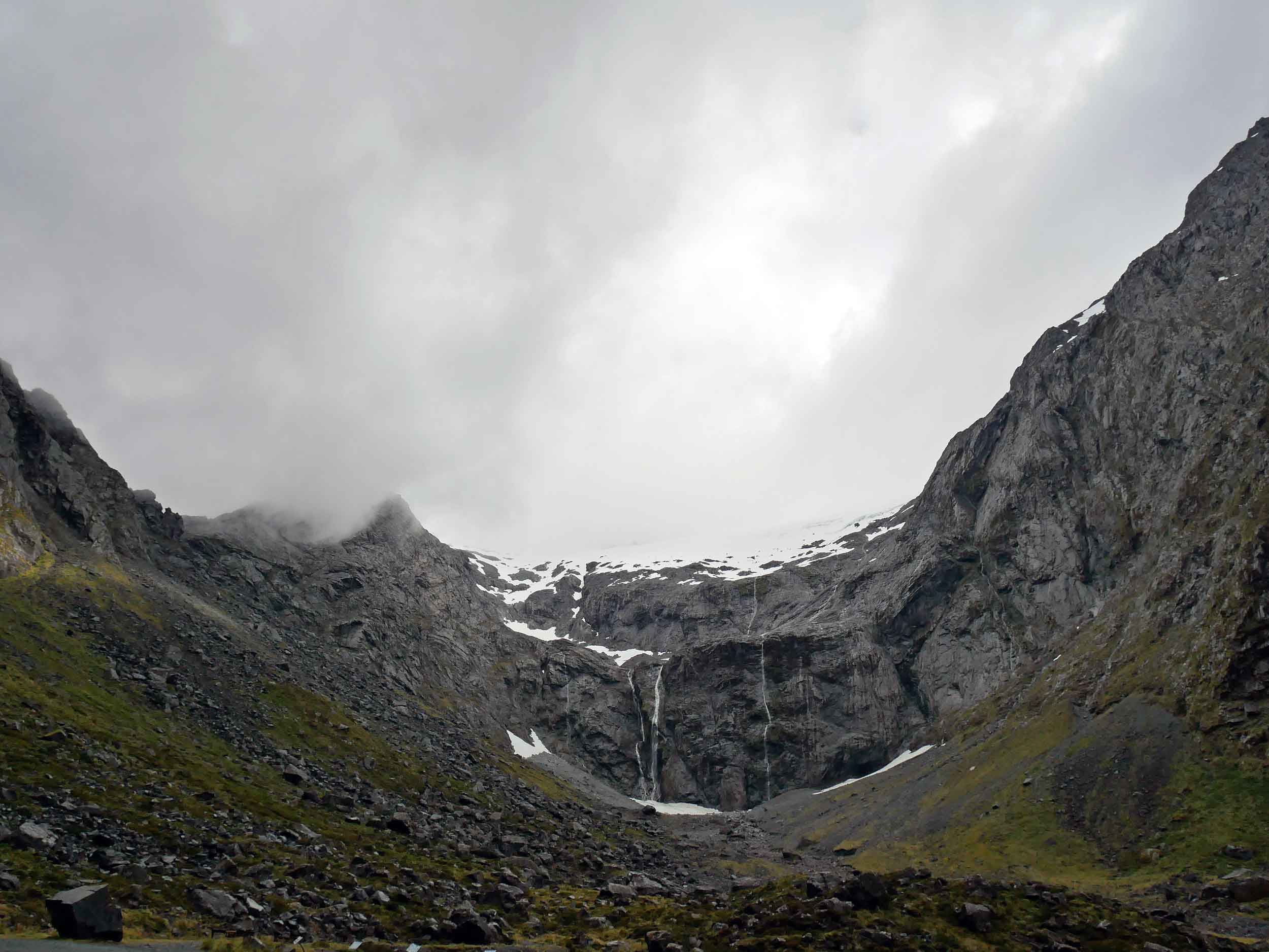
The icy view as we waited to pass through the 1.2 km long Homer Tunnel with unlined granite walls and 1:10 decent into the Cleddau Valley and Milford Sound (Jan 9).
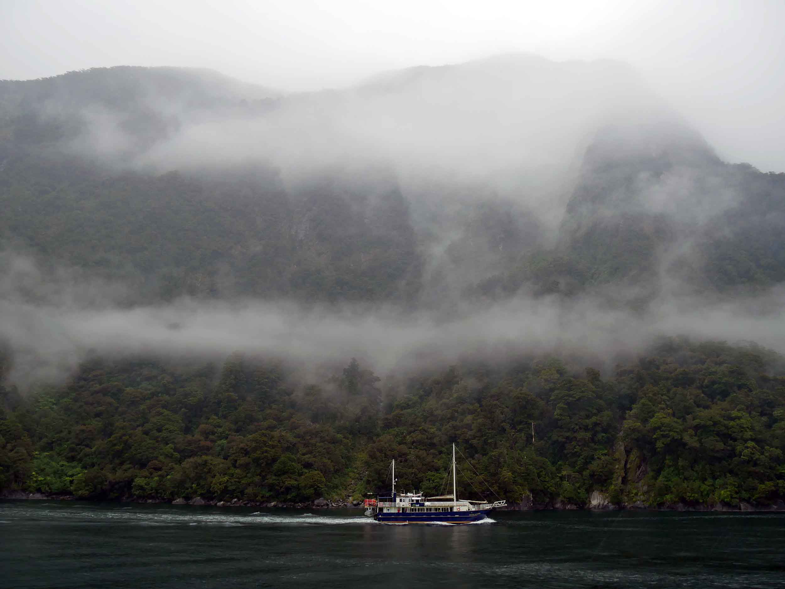
Majestic Milford Sound, the star of Fiordland National Park, was once called the eighth world wonder by Rudyard Kipling (Jan 9).
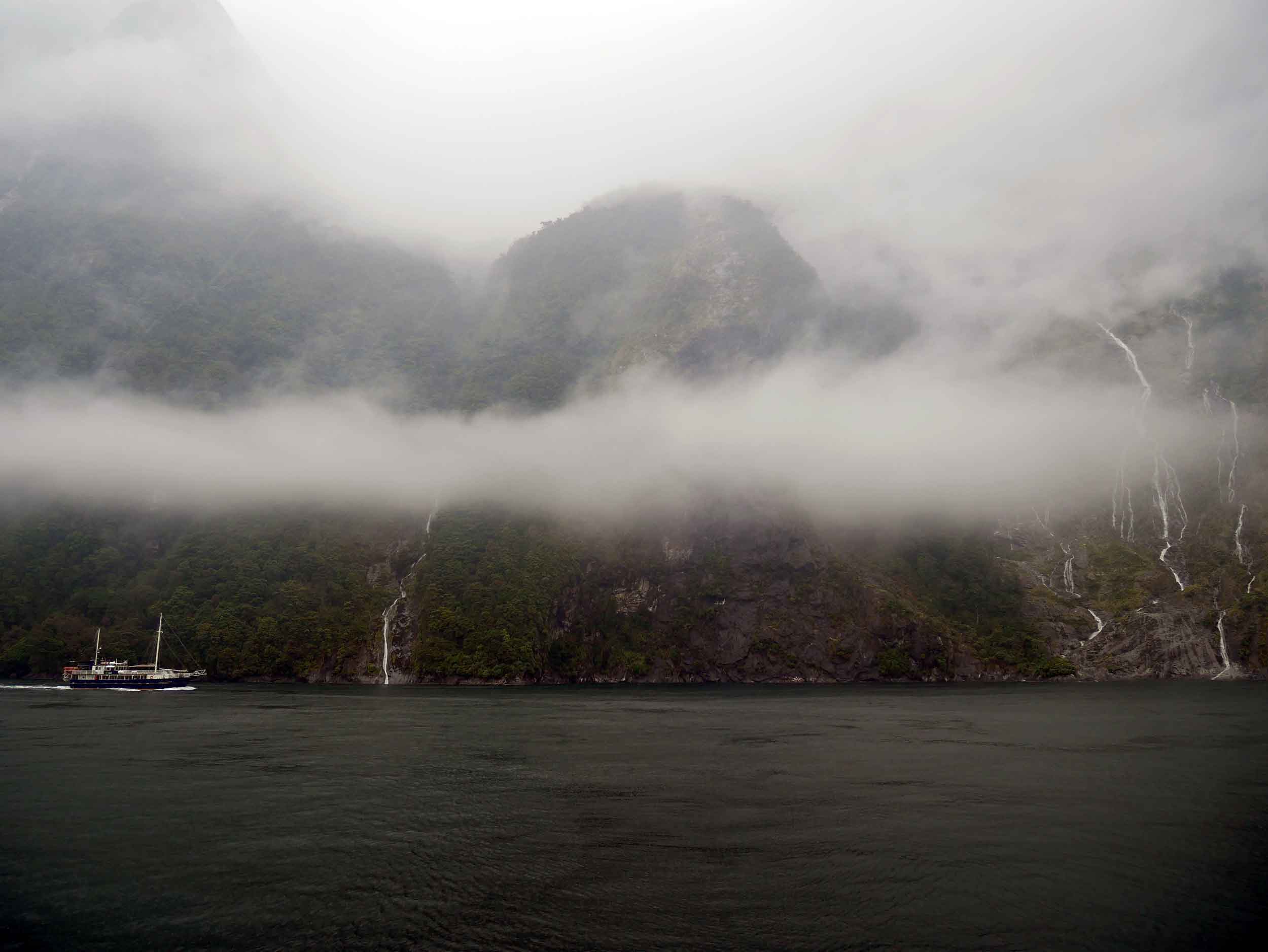
The rock faces dive straight into the Sound, with only 10% of vegetation actually rooted while the rest grabs hold for dear life (Jan 9)!
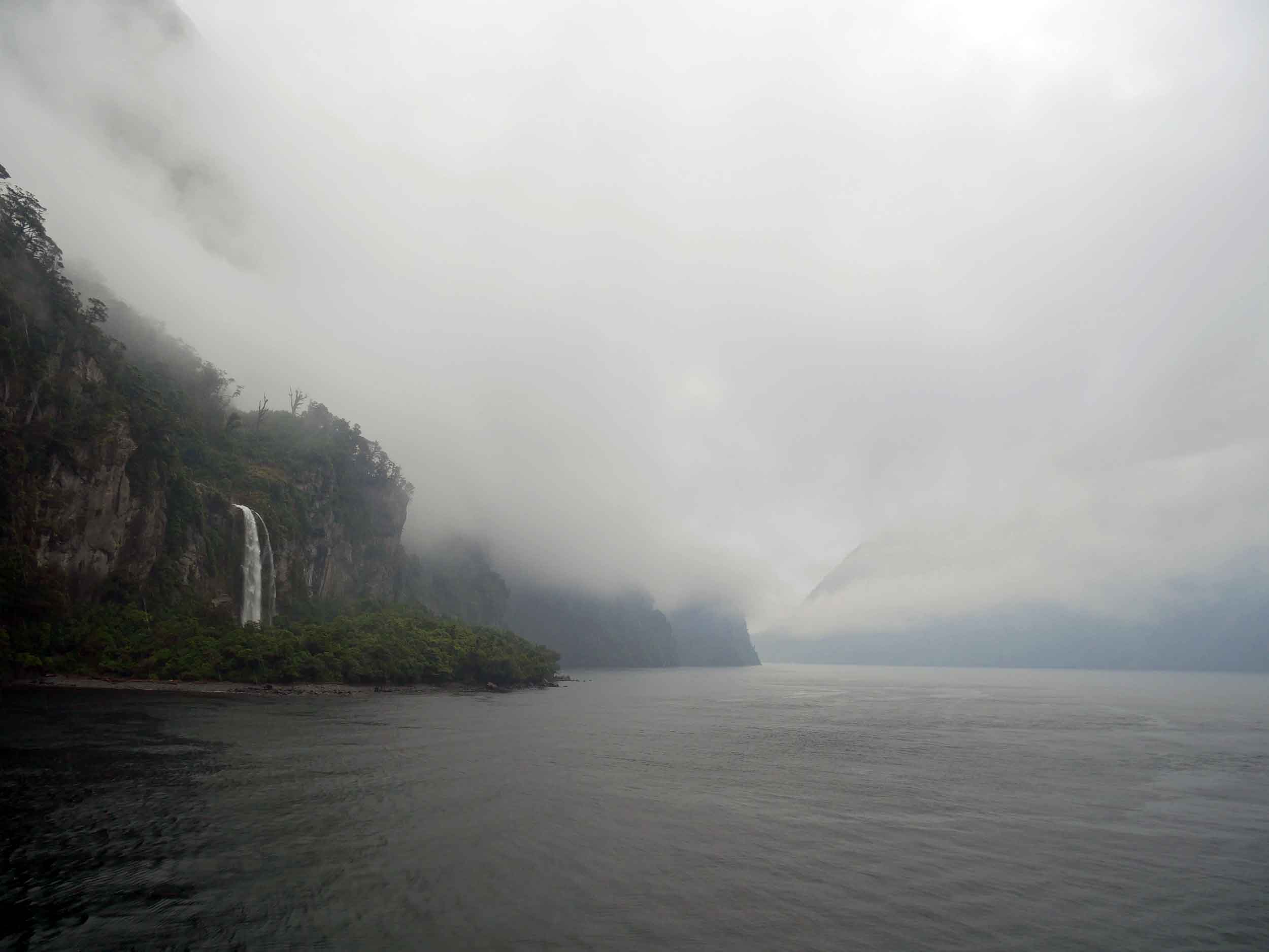
There are only two permanent waterfalls in Milford Sound, but after heavy rainfall, hundreds of temporary falls form down the rock faces (Jan 9).
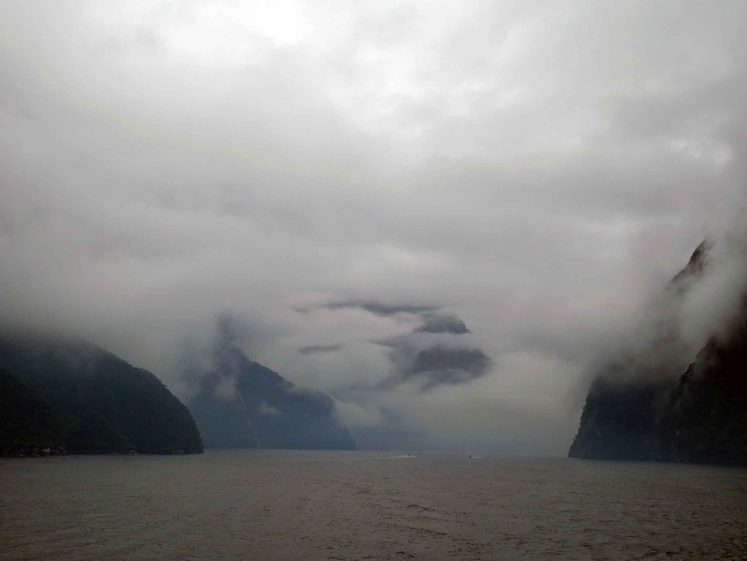
Known as one of the wettest areas in the world (with nearly 6.5 metres of rain annually), Milford Sound is home to seals, penguins and the earth's largest bottlenose dolphins (Jan 9).
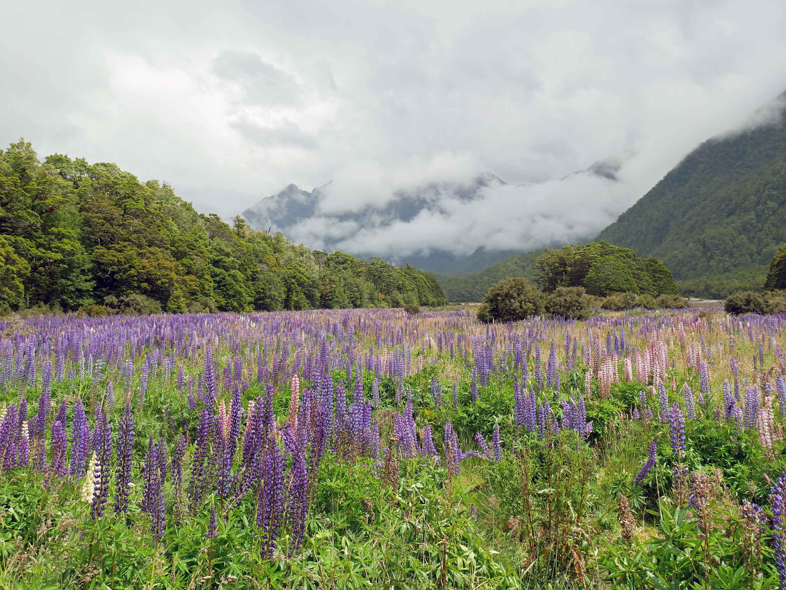
Delighted to find more fields of lupine in Fiordland National Park (Jan 9).
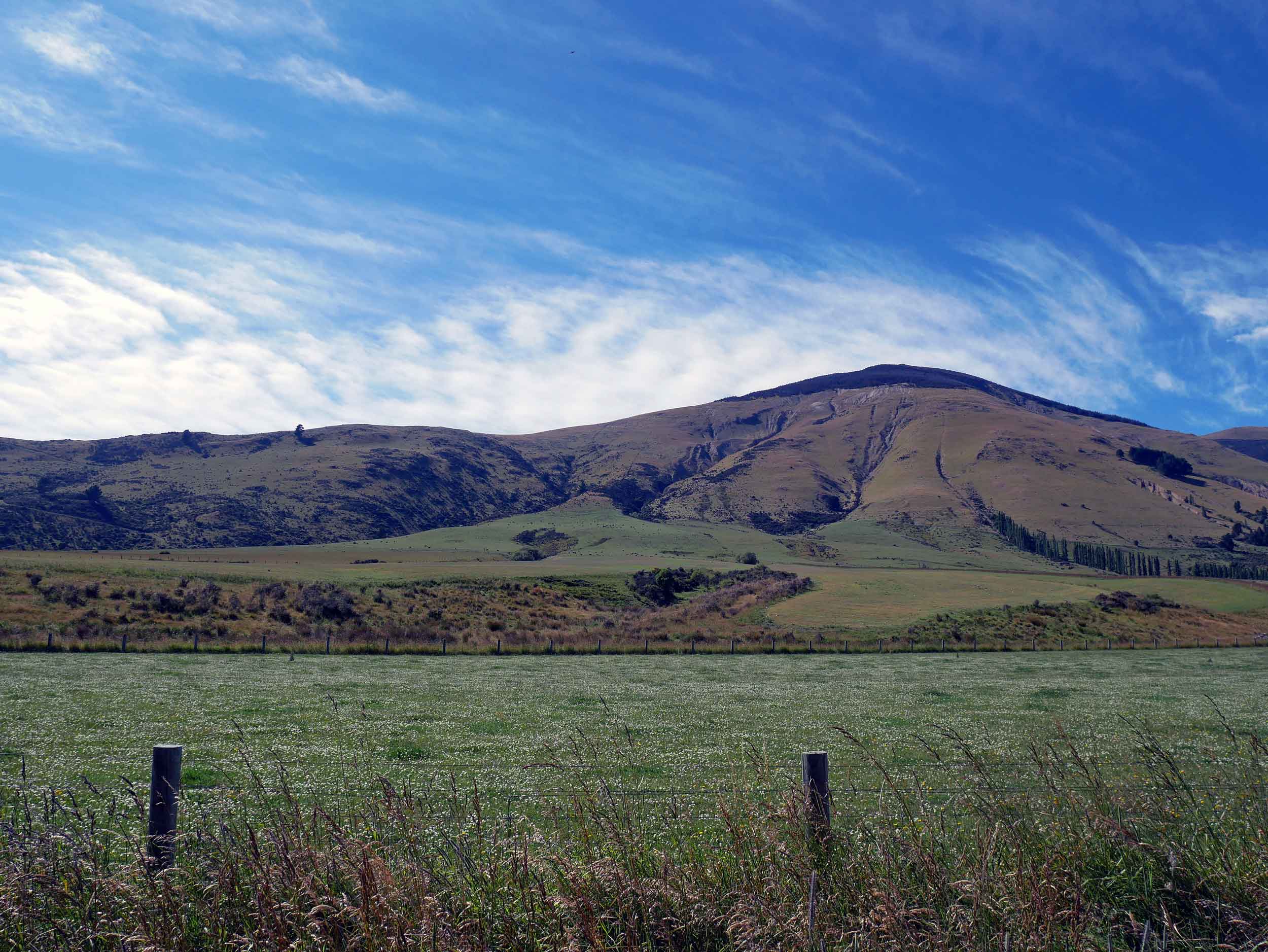
The scenery around Lake Te Anau, the gateway to Fiordland National Park (Jan 10).
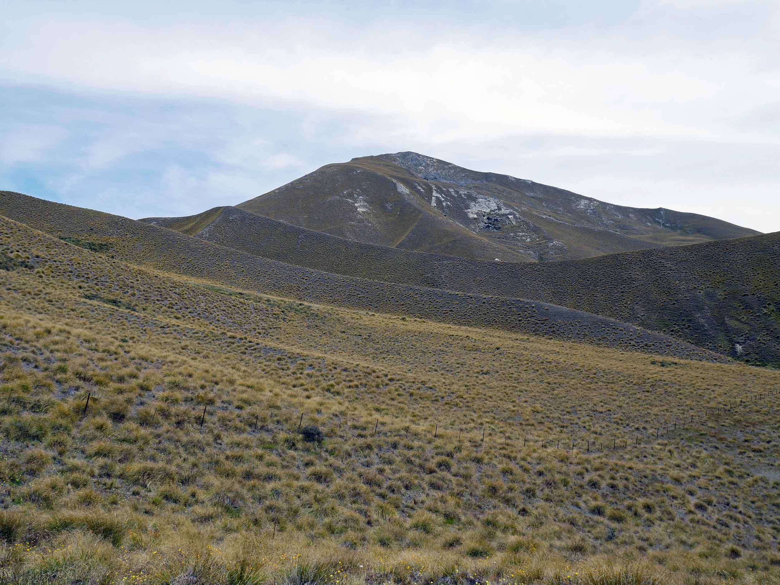
Driving north past Queenstown, the landscape becomes hot and arid with hills covered in tussock (Jan 10).
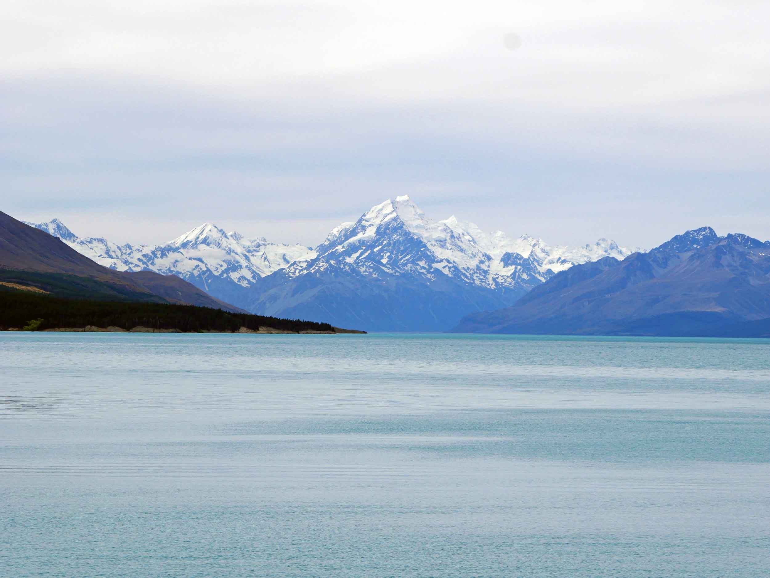
Stunning Mt. Cook is New Zealand's highest mountain with Lake Pukaki in the foreground (Jan 10).
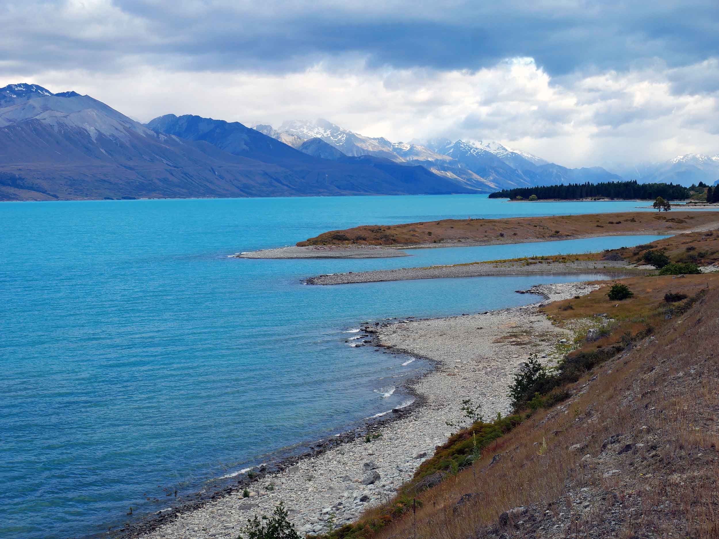
One of three parallel Alpine lakes, Lake Pukaki was formed when moraines of a receding glacier blocked its valley. The glacial runoff gives it a distinctive blue color (Jan 11).
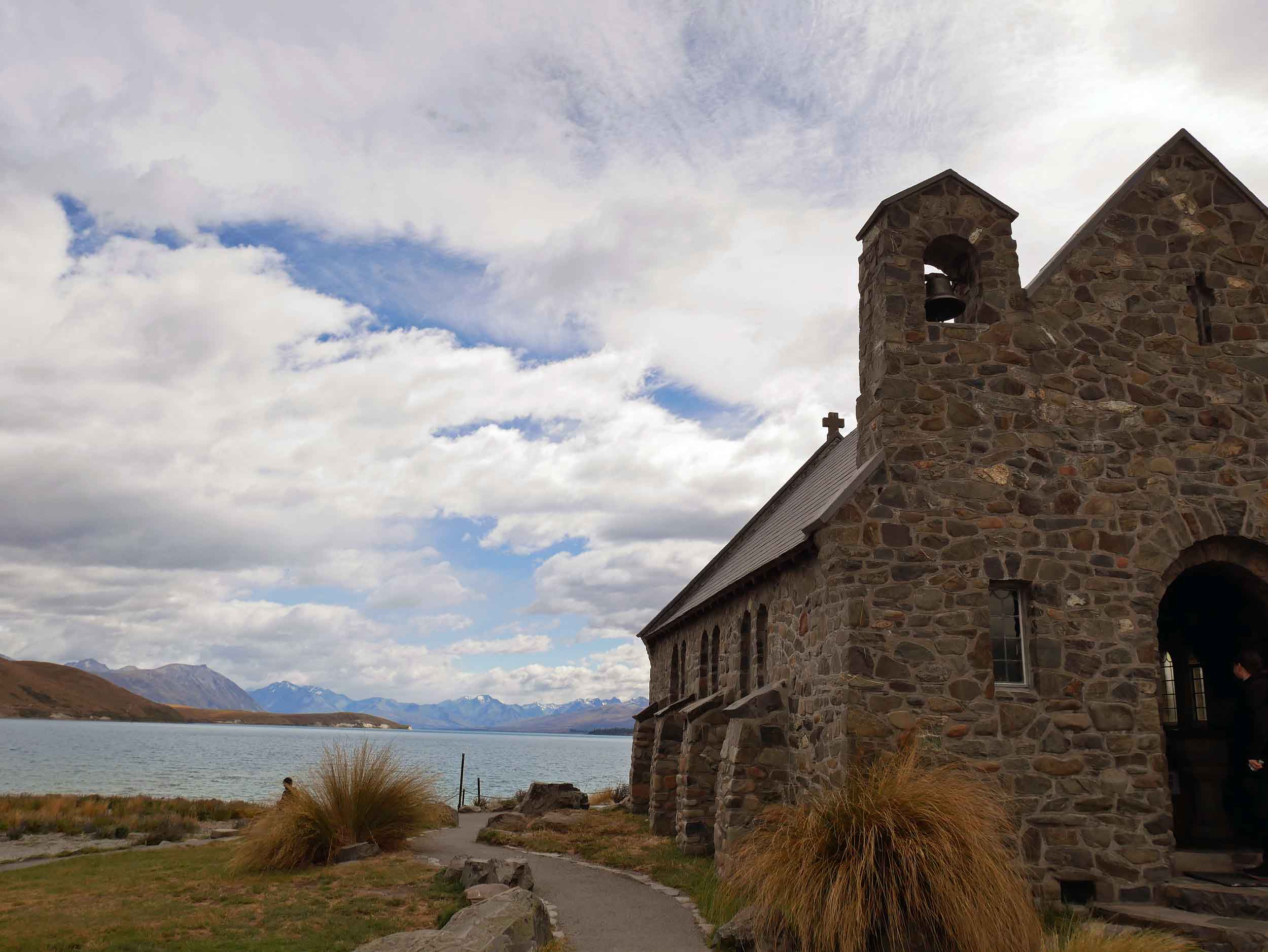
The Church of the Good Shepherd, completed in 1935, sits on the edge of Lake Tekapo and still holds regular services with stunning views of the mountains and lake from the picture window behind the alter (Jan 11).


New Zealand is certainly far flung from the States (about 24-hours in the air from New York), and we did truly feel like we’d been transported to another place and another time, which seems to have been the perfect way to re-set our minds and prepare for the rest of our journey ahead.
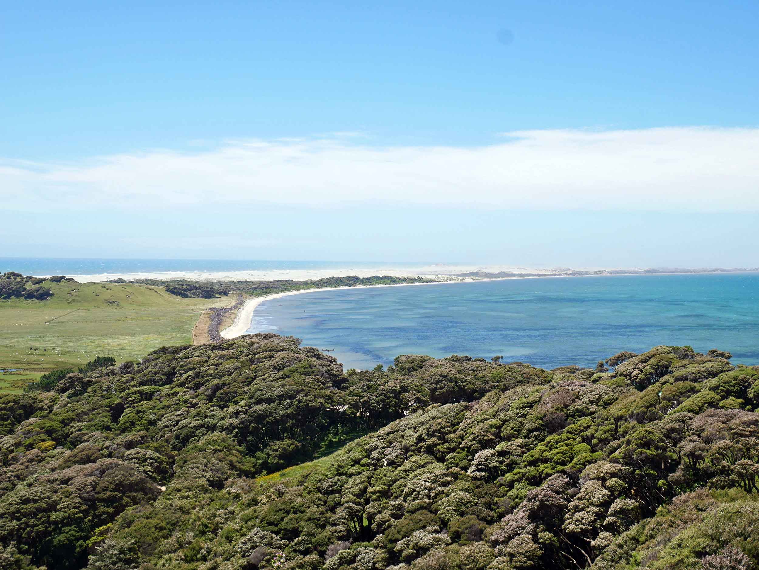
More than 300 twists and turns over Takaka Hill, we ended our NZ journey in Golden Bay, framed by the Farewell Spit (Jan 13).
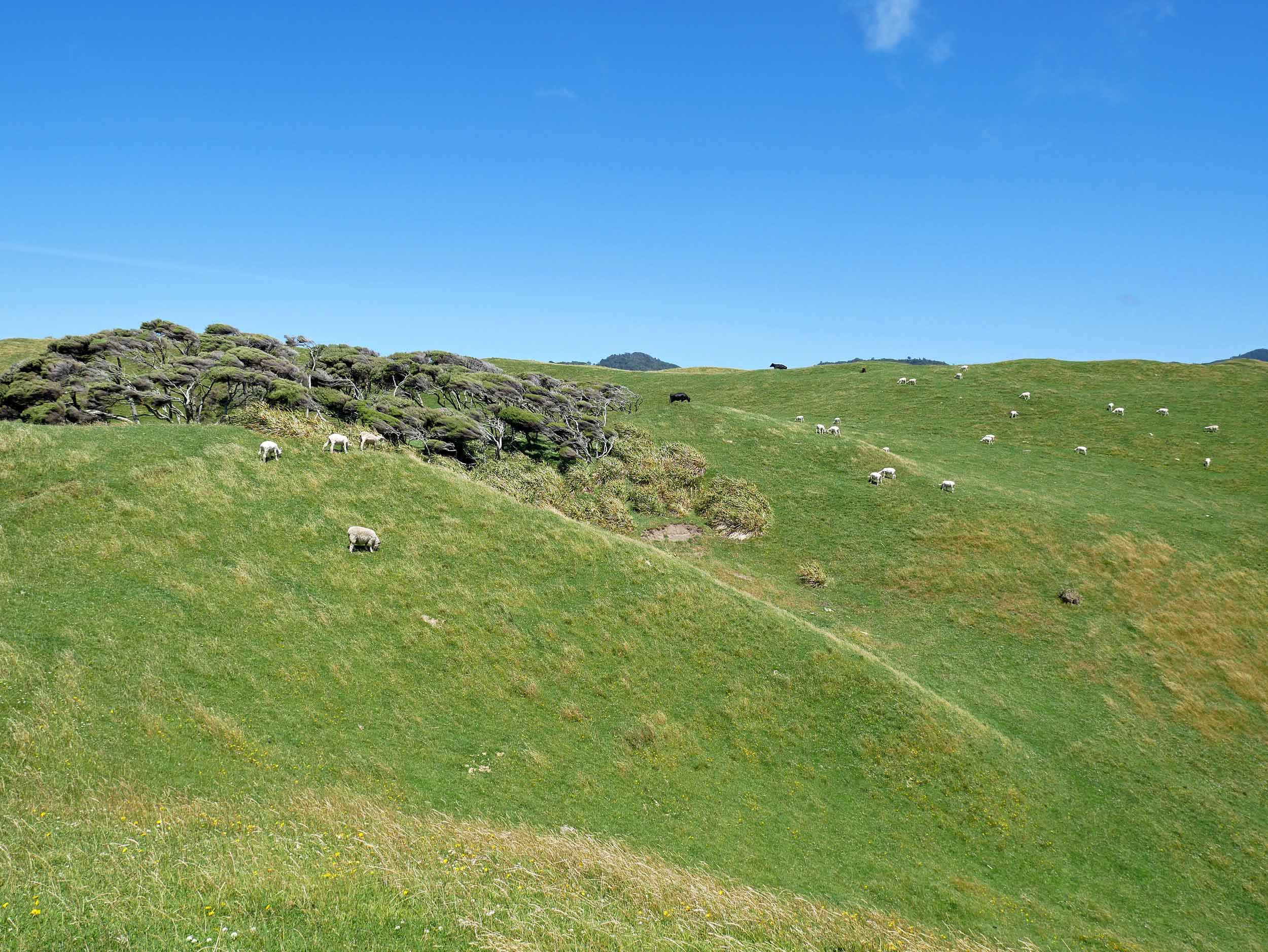
The northern most tip of the South Island, the rolling hills on top of hills are dotted with what else... more sheep (Jan 13).
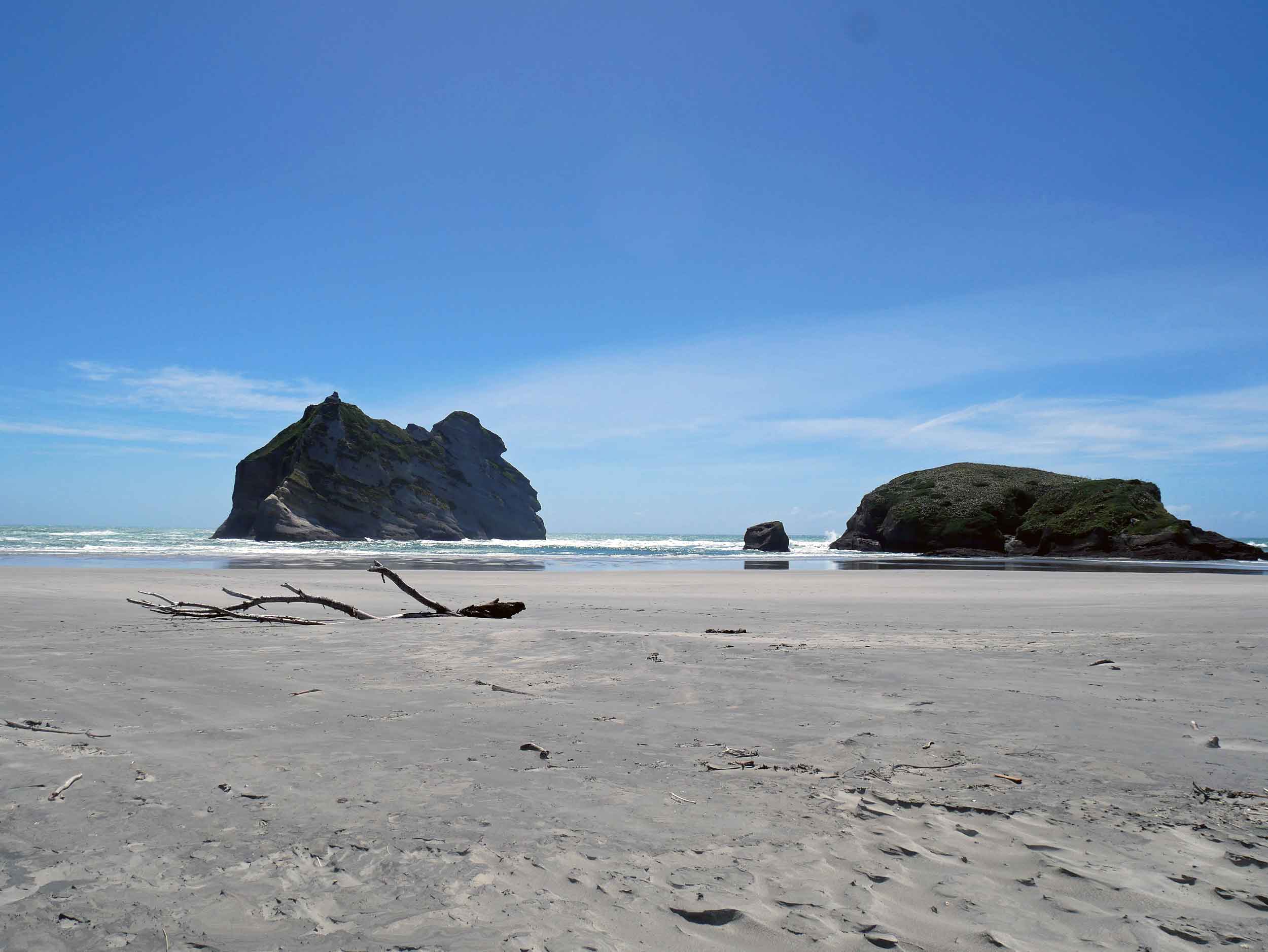
Low tide (during a full moon, no less) presented massive beach at Wharariki, which is only accessible via a 20-minute walk through paddocks and rolling hills (Jan 13).
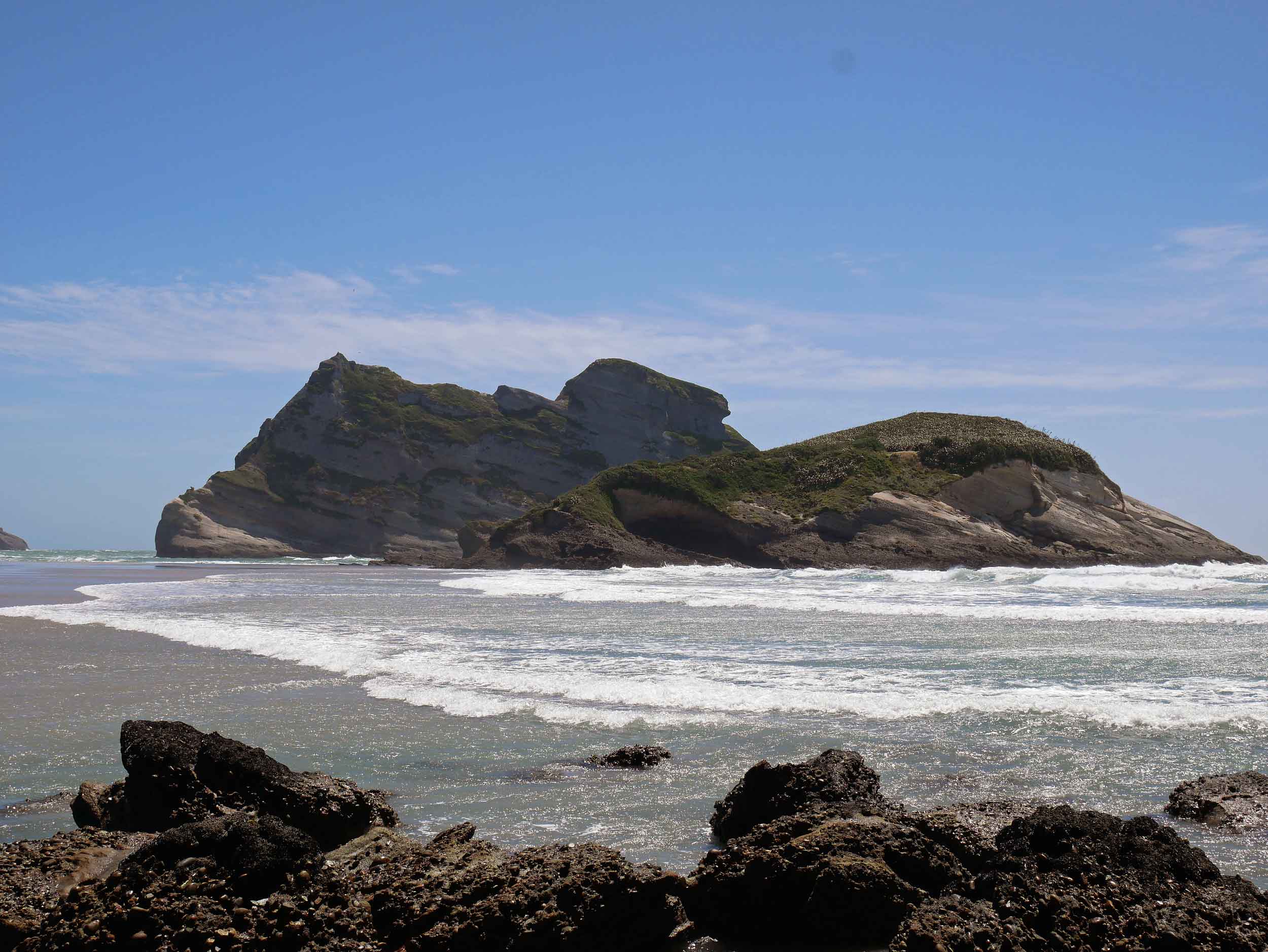
Cliffs border Wharariki Beach with the famous Archway Islands dotting the waters and on this particular day, massive wind gusts changing the landscape before our very eyes (Jan 13).
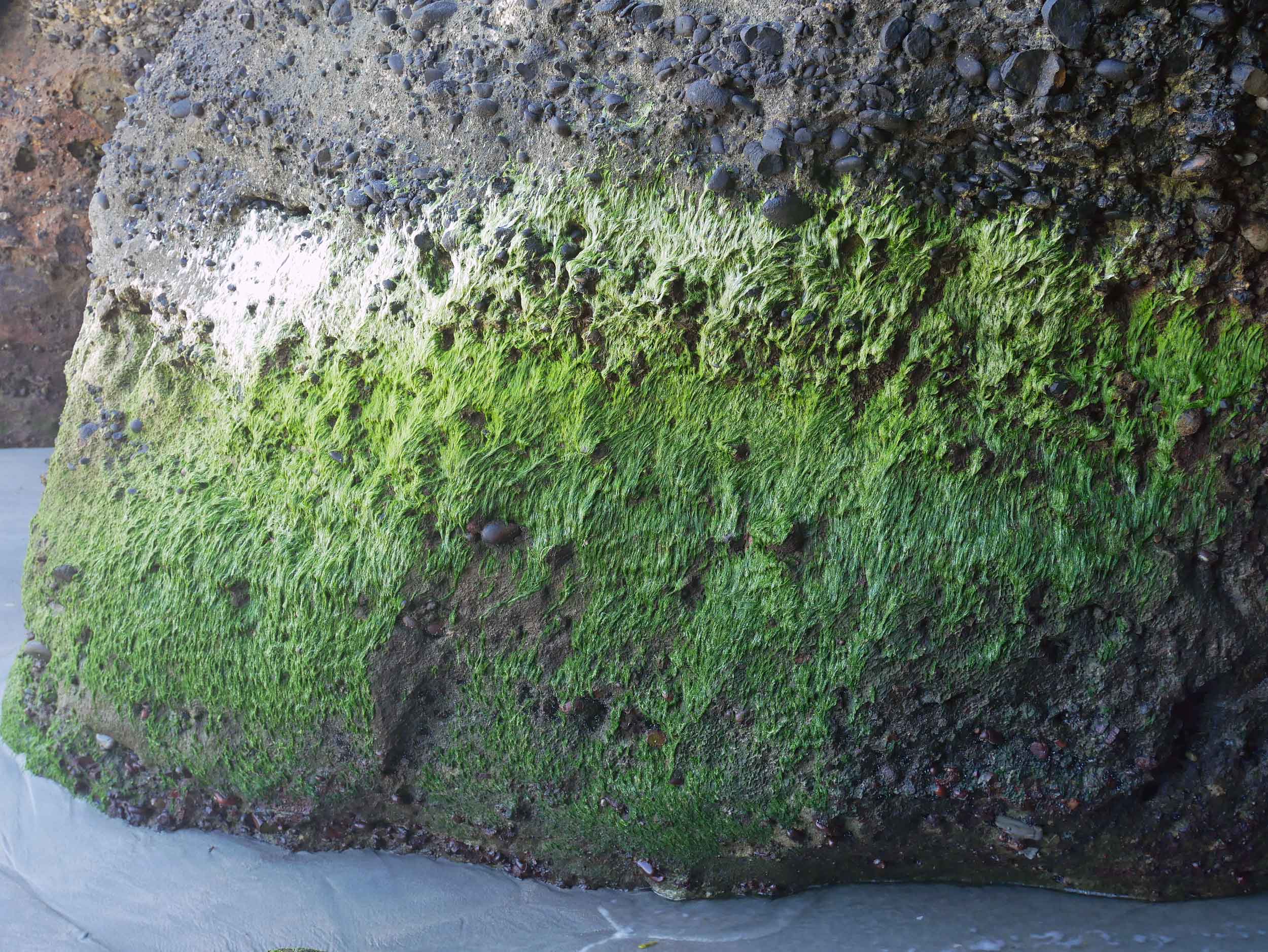
The ombre mossy greens covering the giant rocks along Wharariki Beach (Jan 13).
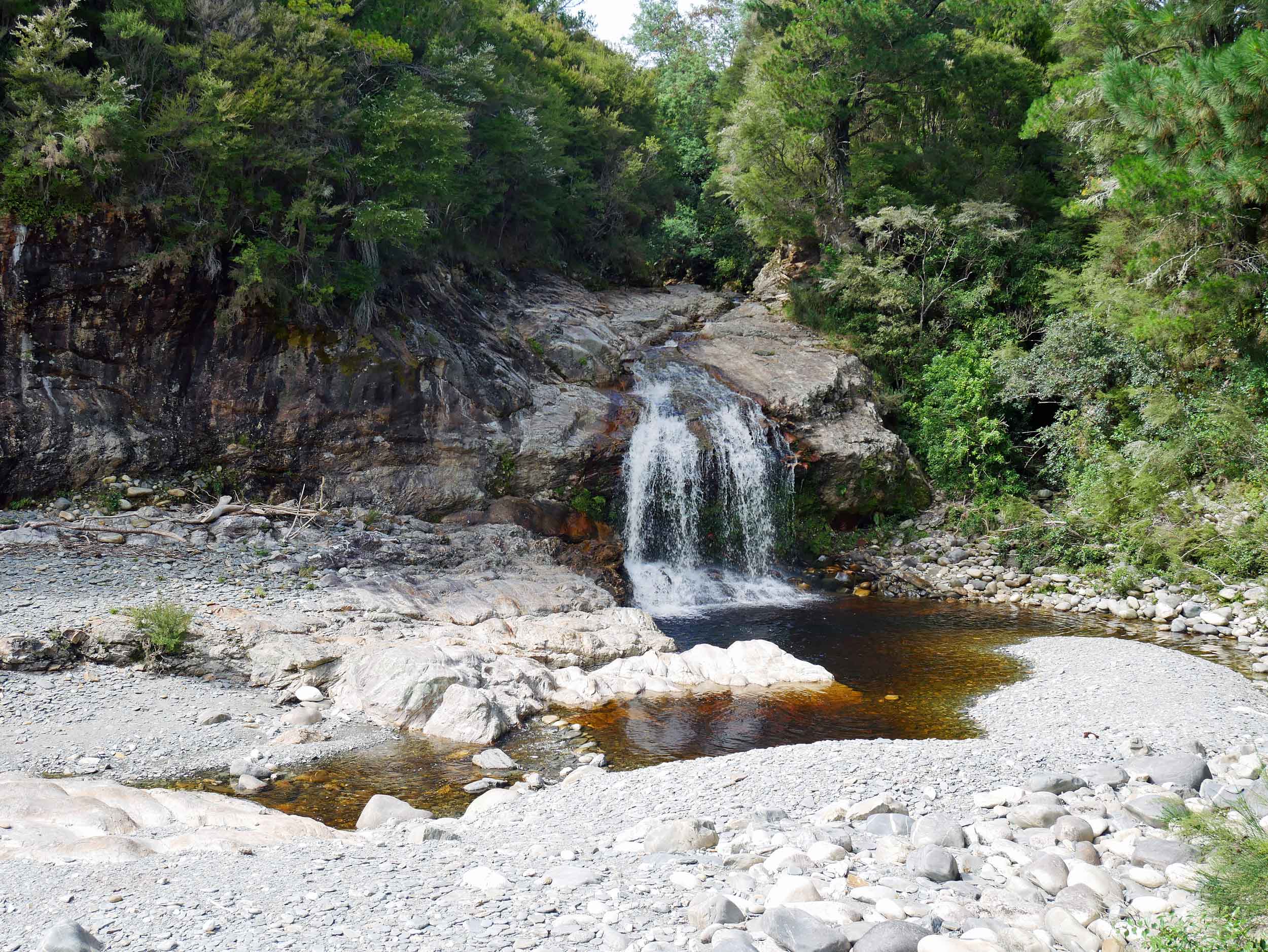
Perhaps recognizable to Hobbit fans, we had peaceful Salisbury Falls all to ourselves after an early morning trek (Jan 14).
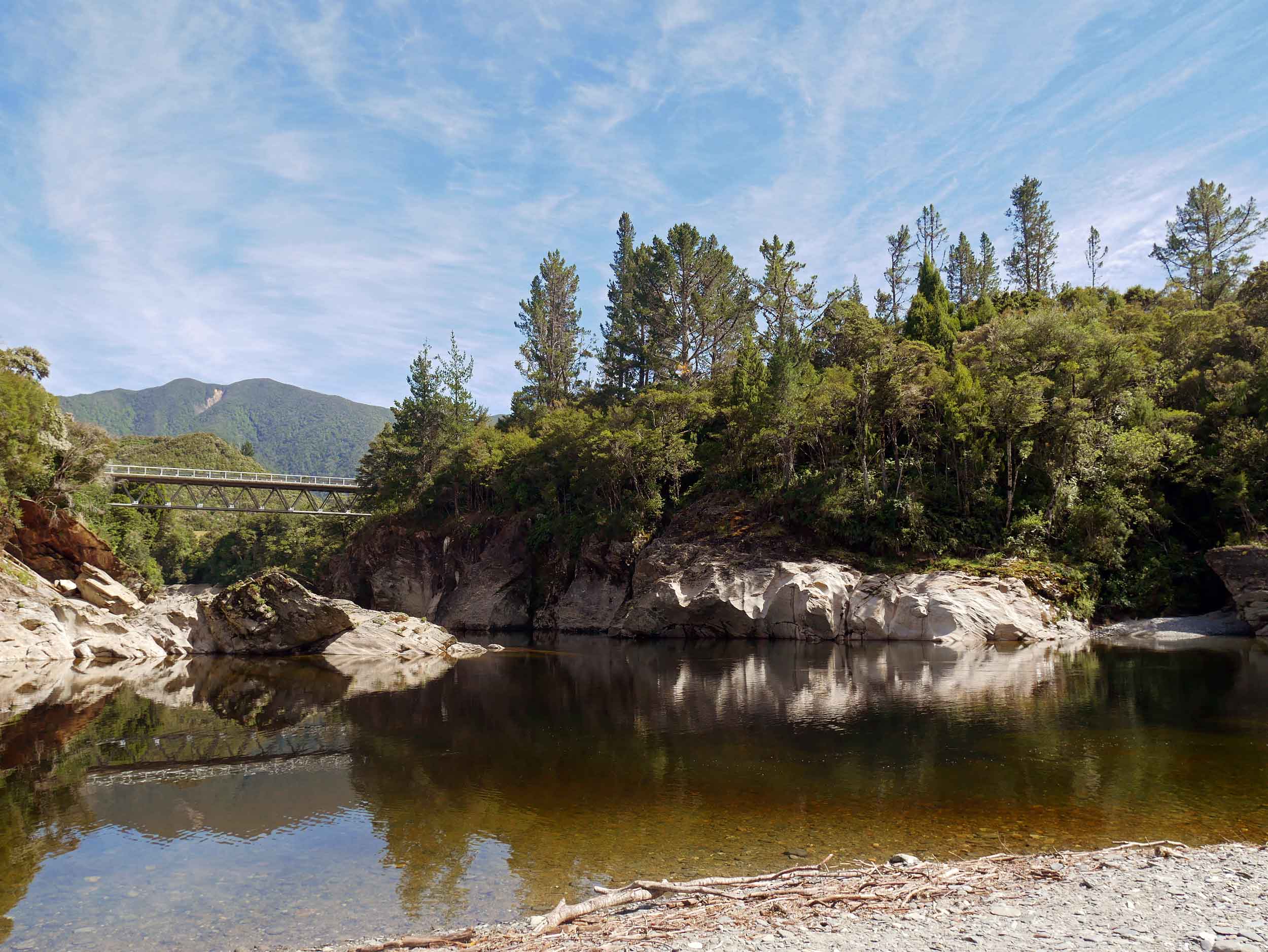
Salisbury Falls flows into the Aorere River, which was known for its original suspension bridge, built in 1887 and used until it was swept away by flooding in 2010 (Jan 14).
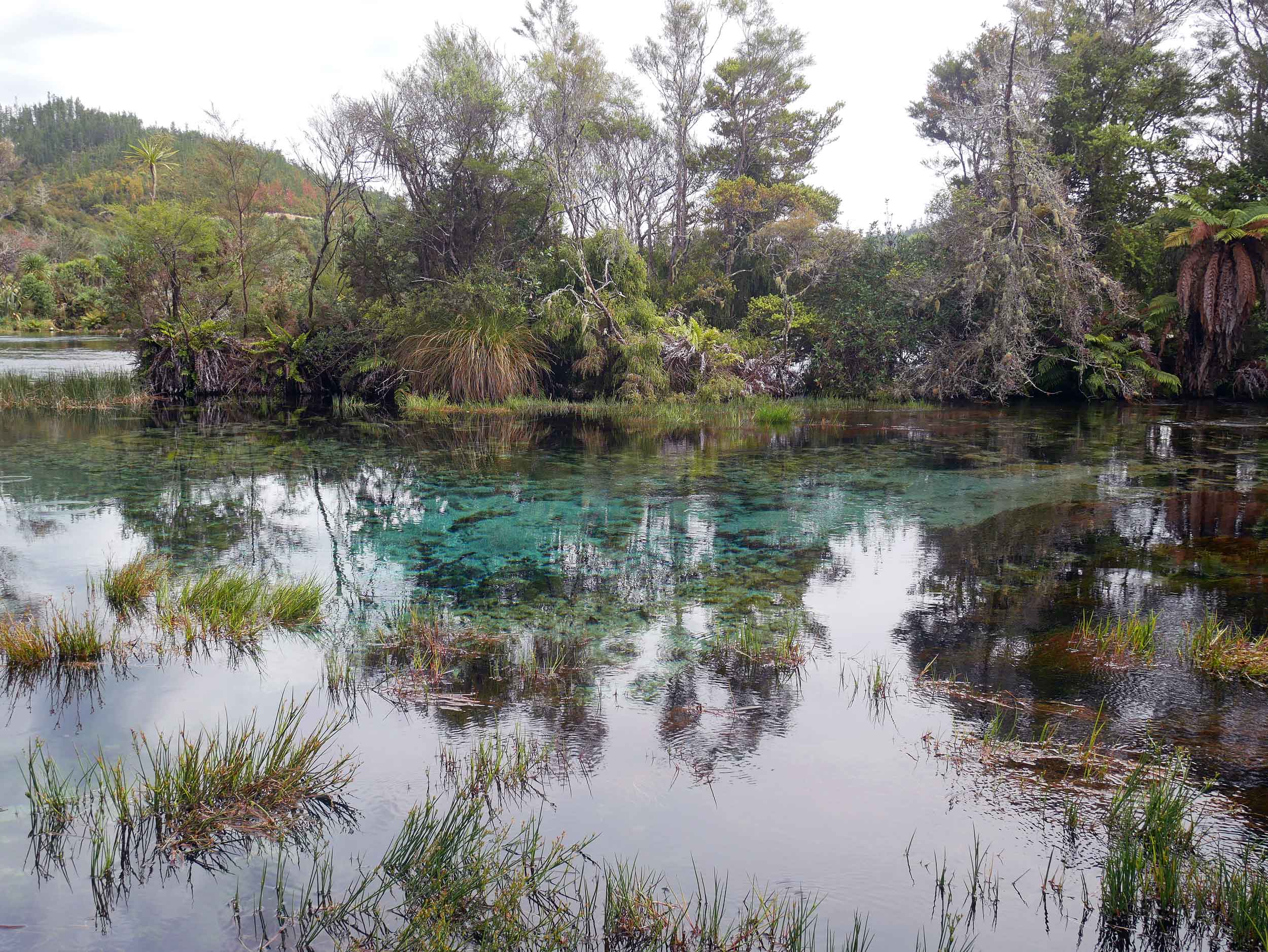
Golden Bay's Te Waikoropupu Springs, known locally as Pupu Springs, is famous for its water clarity (63 metres depth) and is spiritually significant to the native Maori people (Jan 15).
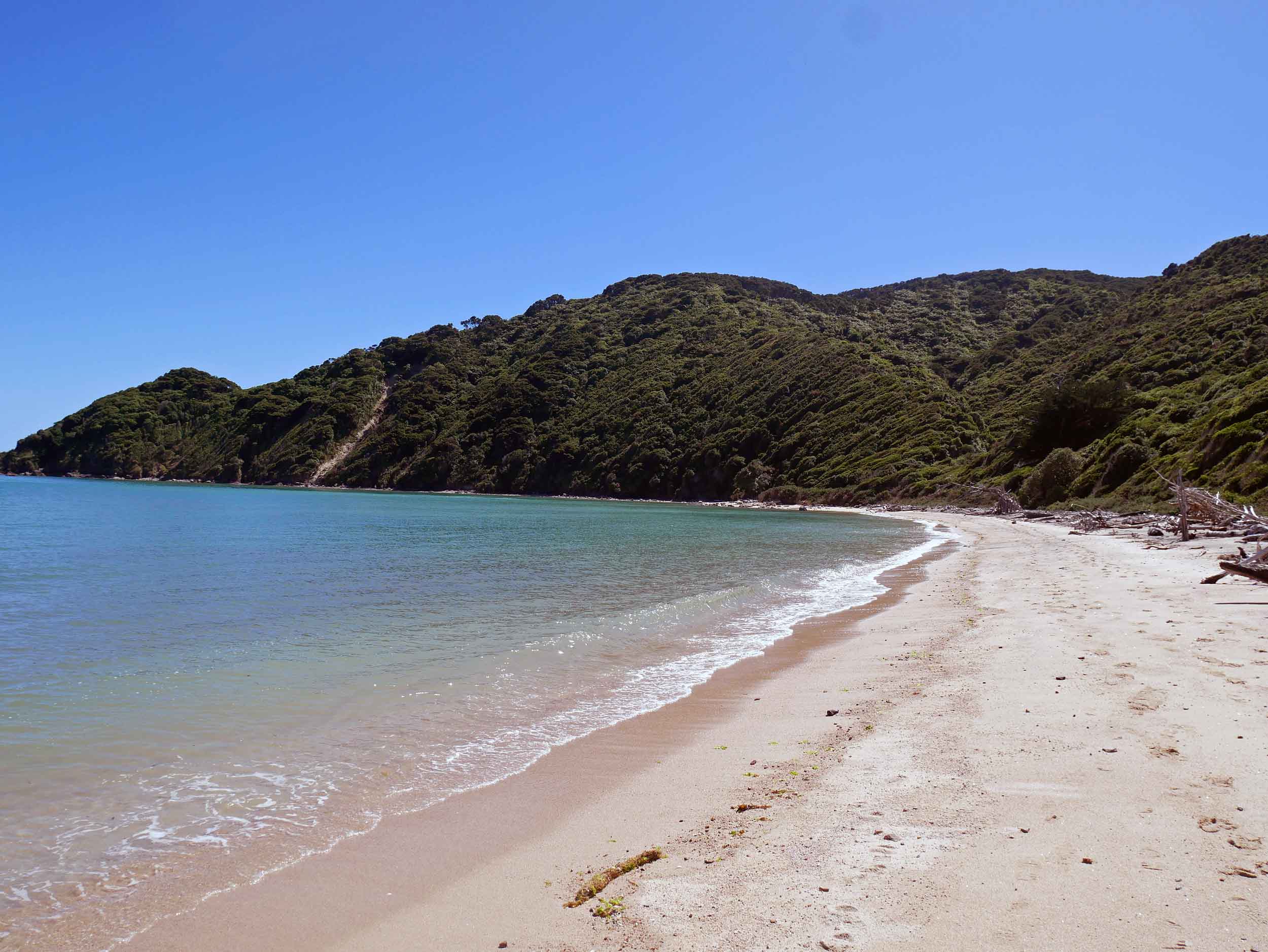
We spent a lovely morning enjoying one of the deserted beaches along Wainui Bay (Jan 16).
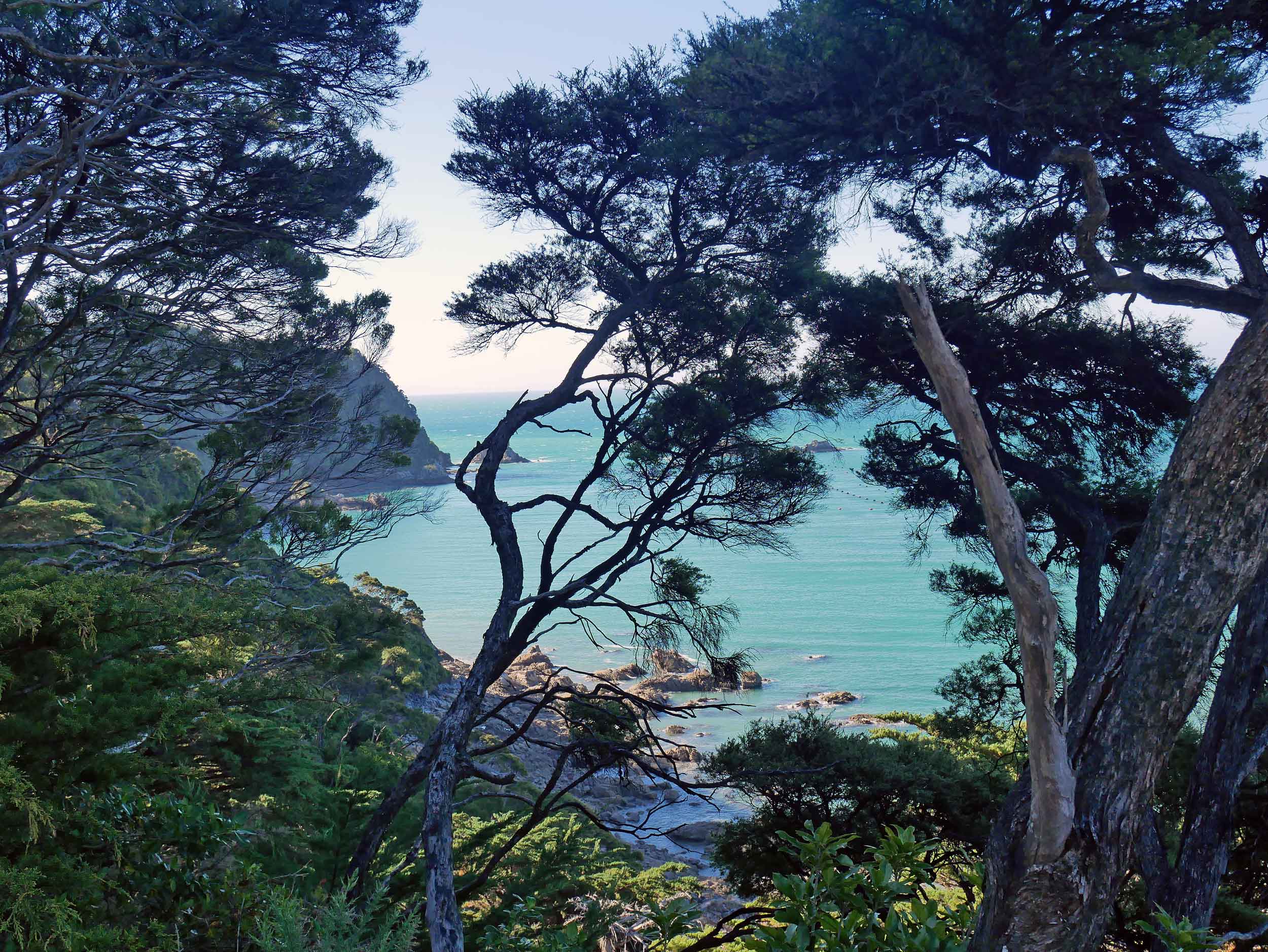
We scaled down the side of a cliff to reach Doctor's Beach, a secluded hideaway with views of Wainui Bay (Jan 16).
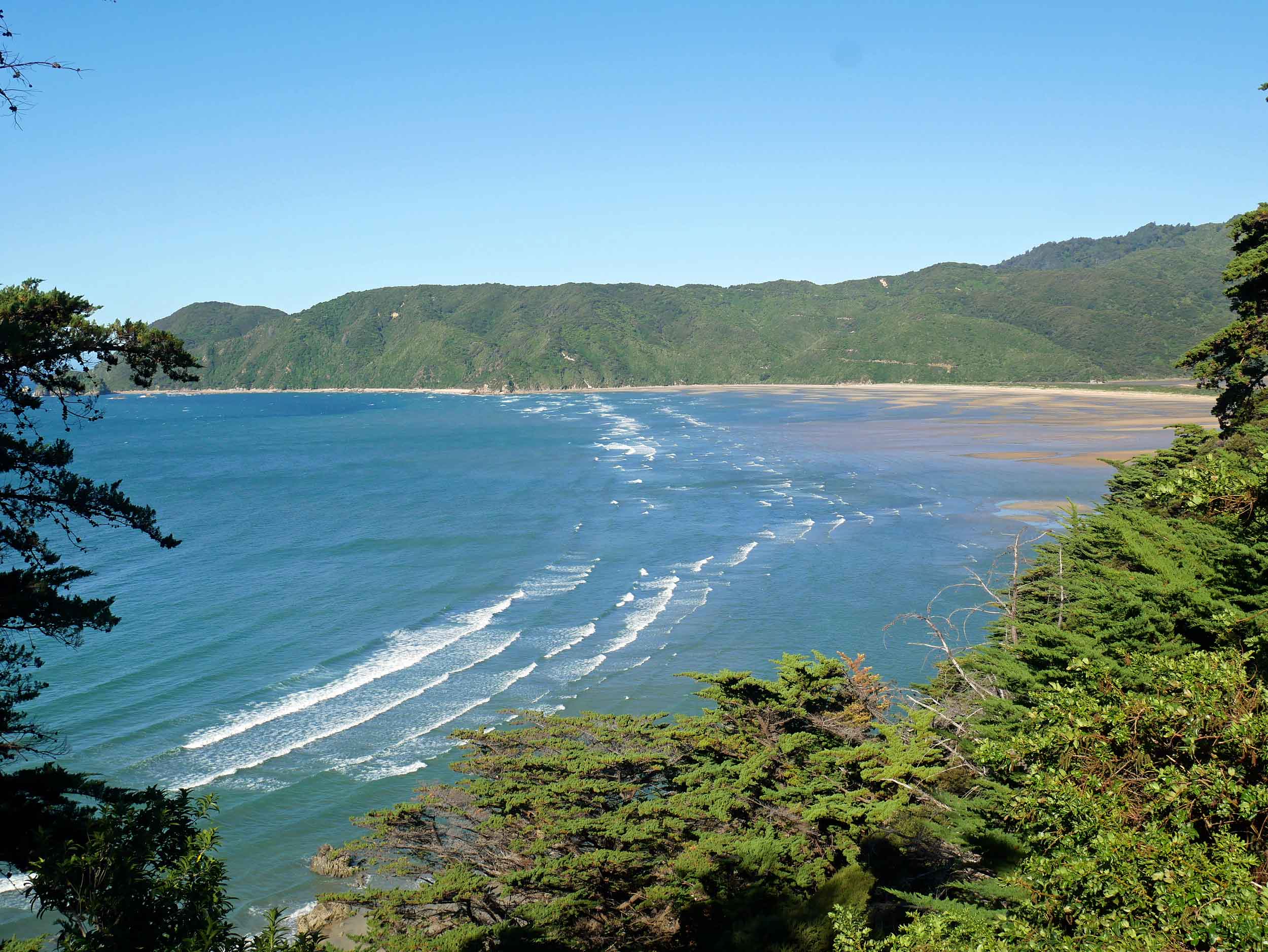
The rolling, windswept waves of Wainui Bay reminded us of the beaches of Hawaii (Jan 16).
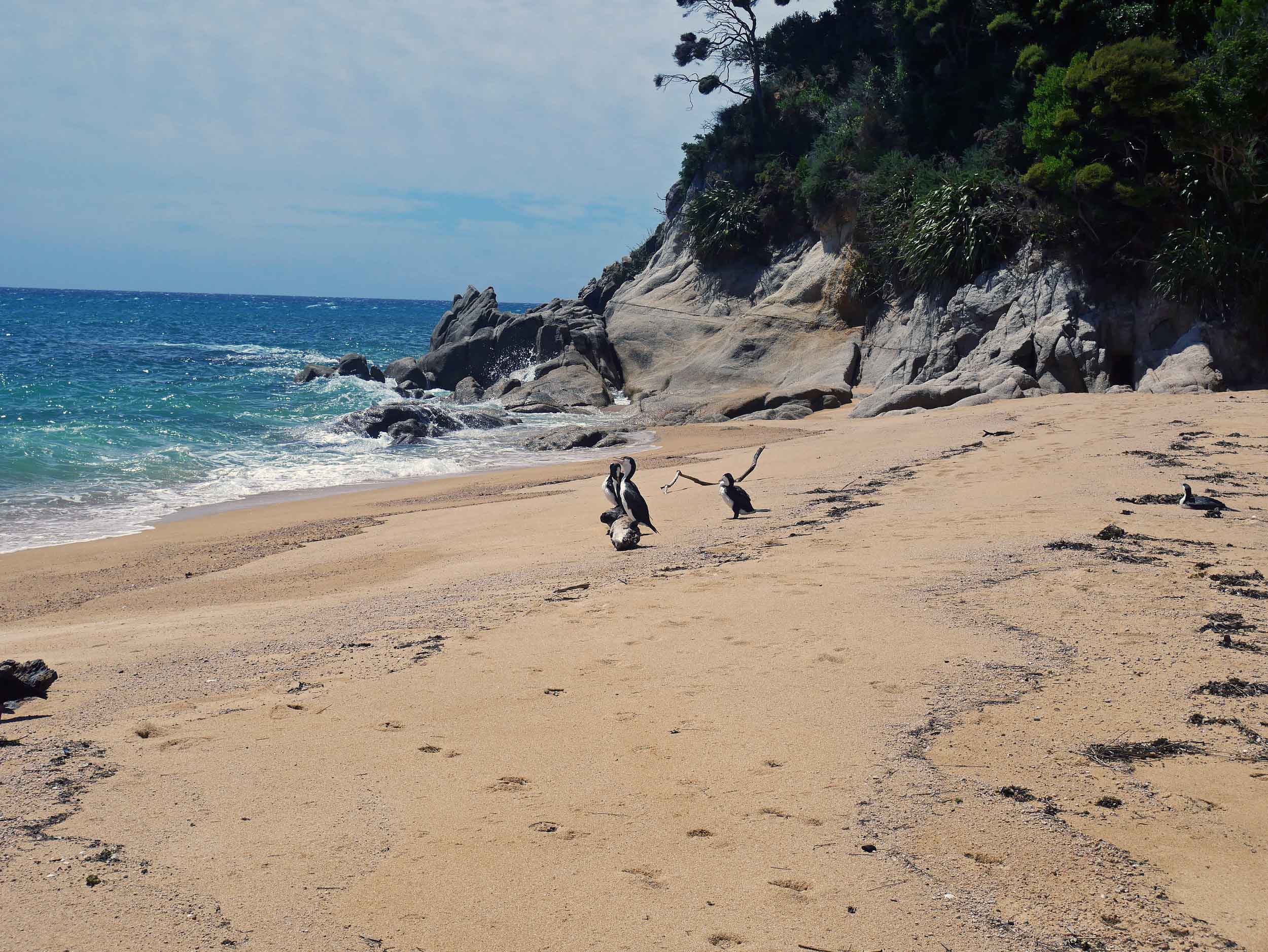
A 2.5 km trek from Totaranui led us to Anapai Bay, which was nearly deserted except for a group of pied shags that hung out with us for the afternoon (Jan 17).
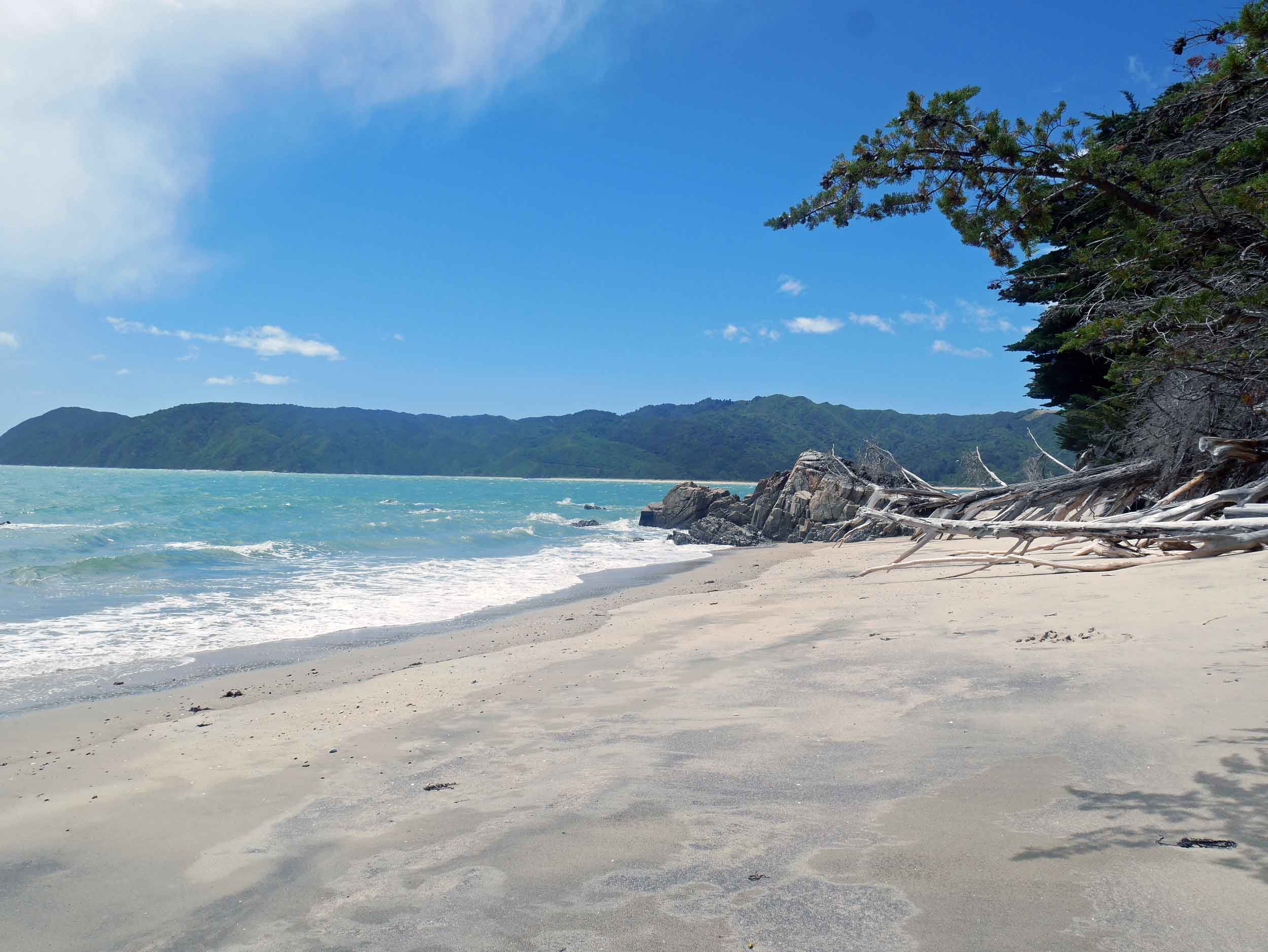
Doc's Beach was so special we had to visit again on our last afternoon in Golden Bay (Jan 19).


